Transport Functions
Rail
Road
Hub Profile
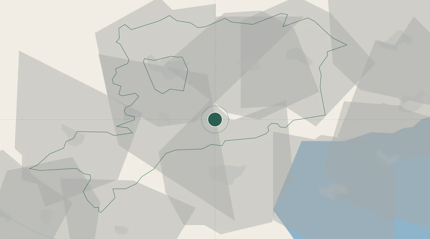
Place type
Populated place
Region
Vas County
Population
4,613
Time zone
Europe/Budapest
Elevation
202 m
Location
Nearby Logistics Neighbours
Cities
- 1Csesztreg14 km
- 2Vasszécseny15 km
- 3Körmend16 km
- 4Nádasd18 km
- 5Bagod21 km
Ports
- 1Bakar261 km
- 2Rijeka Luka264 km
- 3Omisalj268 km
- 4Senj273 km
- 5Trieste281 km
Airports
- 1Hévíz–Balaton Airport49 km
- 2Wiener Neustadt East Airport97 km
- 3Wiener Neustadt West Airport98 km
- 4Győr-Pér Airport99 km
- 5Graz Airport103 km
Trade Zones
- 1Sjever Free Zone92 km
- 2Krapina-Zagorje Free Zone122 km
- 3PJ Free Zone Zagreb156 km
- 4Göd Special Economic Zone192 km
- 5Veselí nad Moravou Industrial Zone216 km
DatabookThe Record of Consolidated Knowledge
Hungary beyond logistics?