Transport Functions
Port
Rail
Road
Hub Profile
Place type
Urban district
Region
Pest County
Population
19,741
Time zone
Europe/Budapest
Elevation
99 m
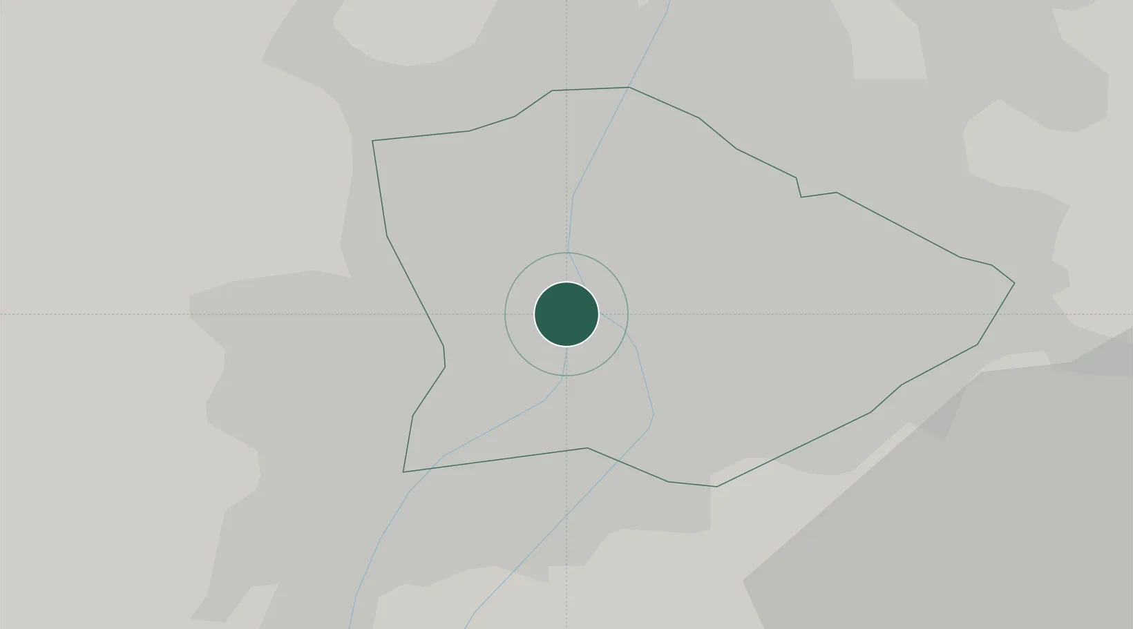
Location
Nearby Logistics Neighbours
Cities
- 1Ferencvaros3 km
- 2Csepel6 km
- 3Budapest7 km
- 4Budaörs8 km
- 5Szigetszentmiklós10 km
Ports
- 1Bakar422 km
- 2Senj422 km
- 3Rijeka Luka426 km
- 4Omisalj426 km
- 5Zaliv Rasa468 km
Airports
- 1Tököl Airport15 km
- 2Budapest Liszt Ferenc International Airport17 km
- 3Kecskemét Air Base81 km
- 4Győr-Pér Airport95 km
- 5Szolnok Air Base97 km
Trade Zones
- 1Göd Special Economic Zone25 km
- 2Subotica Free Zone161 km
- 3Apatin Free Zone199 km
- 4Veselí nad Moravou Industrial Zone207 km
- 5Free Zone Curtici Arad210 km
DatabookThe Record of Consolidated Knowledge
Hungary beyond logistics?