Transport Functions
Port
Road
Hub Profile
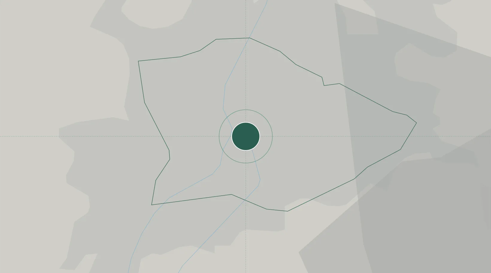
Place type
Urban district
Region
Budapest
Population
59,056
Time zone
Europe/Budapest
Elevation
112 m
Location
Nearby Logistics Neighbours
Cities
- 1Lágymányos3 km
- 2Csepel6 km
- 3Budapest7 km
- 4Budaörs10 km
- 5Szigetszentmiklós11 km
Ports
- 1Senj424 km
- 2Bakar424 km
- 3Rijeka Luka428 km
- 4Omisalj429 km
- 5Zaliv Rasa470 km
Airports
- 1Budapest Liszt Ferenc International Airport14 km
- 2Tököl Airport16 km
- 3Kecskemét Air Base79 km
- 4Szolnok Air Base95 km
- 5Győr-Pér Airport98 km
Trade Zones
- 1Göd Special Economic Zone25 km
- 2Subotica Free Zone160 km
- 3Apatin Free Zone199 km
- 4Free Zone Curtici Arad208 km
- 5Veselí nad Moravou Industrial Zone208 km
DatabookThe Record of Consolidated Knowledge
Hungary beyond logistics?