Transport Functions
Multimodal
Hub Profile
Place type
Populated place
Region
Baranya
Time zone
Europe/Budapest
Elevation
178 m
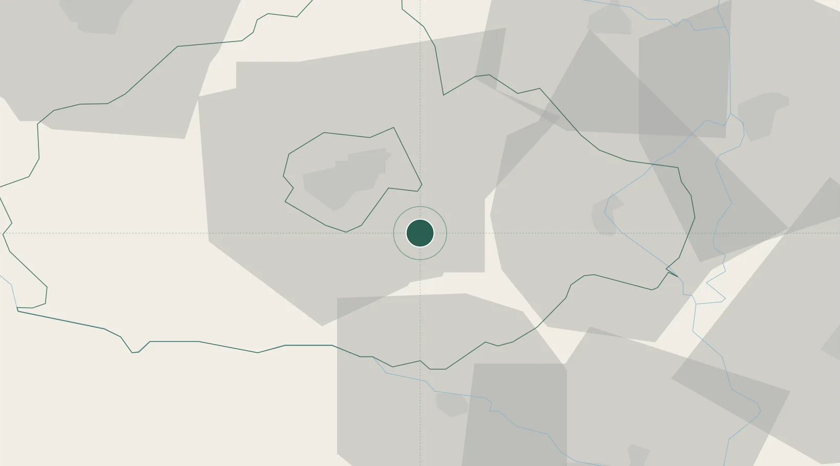
Location
Nearby Logistics Neighbours
Cities
- 1Olasz5 km
- 2Szederkeny6 km
- 3Villány15 km
- 4Magyarbóly17 km
- 5Mohács25 km
Ports
- 1Senj292 km
- 2Bakar308 km
- 3Omisalj309 km
- 4Dugi Rat313 km
- 5Rijeka Luka314 km
Airports
- 1Pécs-Pogány International Airport10 km
- 2Taszár Air Base57 km
- 3Osijek Airport67 km
- 4Kalocsa-Foktő Airfield77 km
- 5Hévíz–Balaton Airport121 km
Trade Zones
- 1Apatin Free Zone57 km
- 2Osijek Free Zone74 km
- 3Podunavska Gospodarska Zona Vukovar87 km
- 4Duro Daković Free Zone95 km
- 5Subotica Free Zone99 km
DatabookThe Record of Consolidated Knowledge
Hungary beyond logistics?