Transport Functions
Multimodal
Hub Profile
Place type
Populated place
Region
Tolna County
Time zone
Europe/Budapest
Elevation
141 m
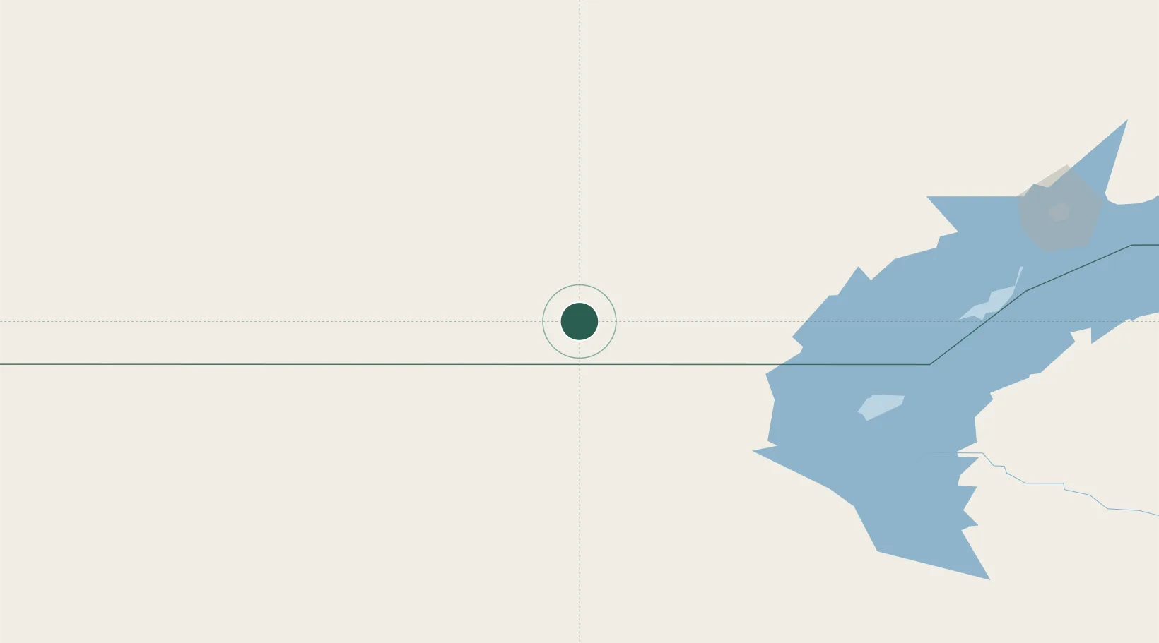
Location
Nearby Logistics Neighbours
Cities
- 1Schonried32 km
- 2Taraz369 km
- 3Karaganda406 km
- 4Alamedin421 km
- 5Bishkek (ex Frunze)423 km
Ports
- 1Muhamamad Bin Qasim2422 km
- 2Karachi2426 km
- 3Gwadar2500 km
- 4Igarka2507 km
- 5Jazireh-Ye Hormoz2531 km
Airports
- 1Balkhash Airport237 km
- 2Zhezkazgan National Airport368 km
- 3Taraz International Airport379 km
- 4Sary-Arka Airport396 km
- 5Manas International Airport399 km
Trade Zones
DatabookThe Record of Consolidated Knowledge
Hungary beyond logistics?