Diversified Zone · Kazakhstan

Saryarka Special Economic Zone Active
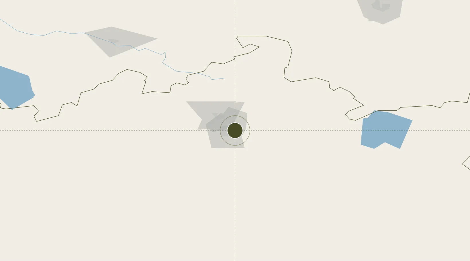
49.8520°, 73.2452°
595 ha
Zone area
2,093.7 km
Nearest port
21.1 km
Nearest airport

Gateway access

Nearest neighbours — logibook spatial index (haversine) over the source coordinates

Zone profile

Zone type
Diversified Zone
Open Zone Map
Region
Qaraghandy
Open Zone Map
Status
Active
Open Zone Map
Management
Public
Open Zone Map
Operator
JSC “Karaganda Invest”
Open Zone Map
Legal framework
Decree of the President of the Republic of Kazakhstan dated November 24, 2011
Open Zone Map

Location

Location of ozm-2641
Natural Earth 10m (public domain) · Qaraghandy · ozm-2641 · 49.85, 73.25GoogleOSMYandex

Nearby Logistics Neighbours

Ports
  1. 1Igarka2094 km
  2. 2Dudinka2281 km
  3. 3Jazireh-Ye Hormoz2907 km
  4. 4Bandar Abbas2912 km
  5. 5Bandar-E Shahid Rejaie2923 km
Nearest neighbours — logibook spatial index (haversine) over the source coordinates
Airports
  1. 1Sary-Arka Airport21 km
  2. 2Nursultan Nazarbayev International Airport182 km
  3. 3Ekibastuz Airport238 km
  4. 4Balkhash Airport354 km
  5. 5Pavlodar International Airport374 km
Nearest neighbours — logibook spatial index (haversine) over the source coordinates
Cities
  1. 1Karaganda12 km
  2. 2Temirtau34 km
  3. 3Dernbach94 km
  4. 4Bielstein125 km
  5. 5Schonried381 km
Nearest neighbours — logibook spatial index (haversine) over the source coordinates
Trade Zones
  1. 1Astana Technopolis Special Economic Zone190 km
  2. 2Astana New City Special Economic Zone192 km
  3. 3Pavlodar Special Economic Zone382 km
  4. 4Qyzyljar Special Economic Zone623 km
  5. 5Chemical Park Taraz Special Economic Zone708 km
Nearest neighbours — logibook spatial index (haversine) over the source coordinates
DatabookThe Record of Consolidated Knowledge
Kazakhstan beyond logistics?
Browse databook

All Sources

Trade ZonesOpen Zone Map
CC BY
Portsthe NGA World Port Index
Public domain (US gov)
AirportsOurAirports
Public domain
LocationsUN/LOCODE
UN/LOCODE — free
← Kazakhstan trade zones