Large airport · Kazakhstan

Sary-Arka AirportUAKK
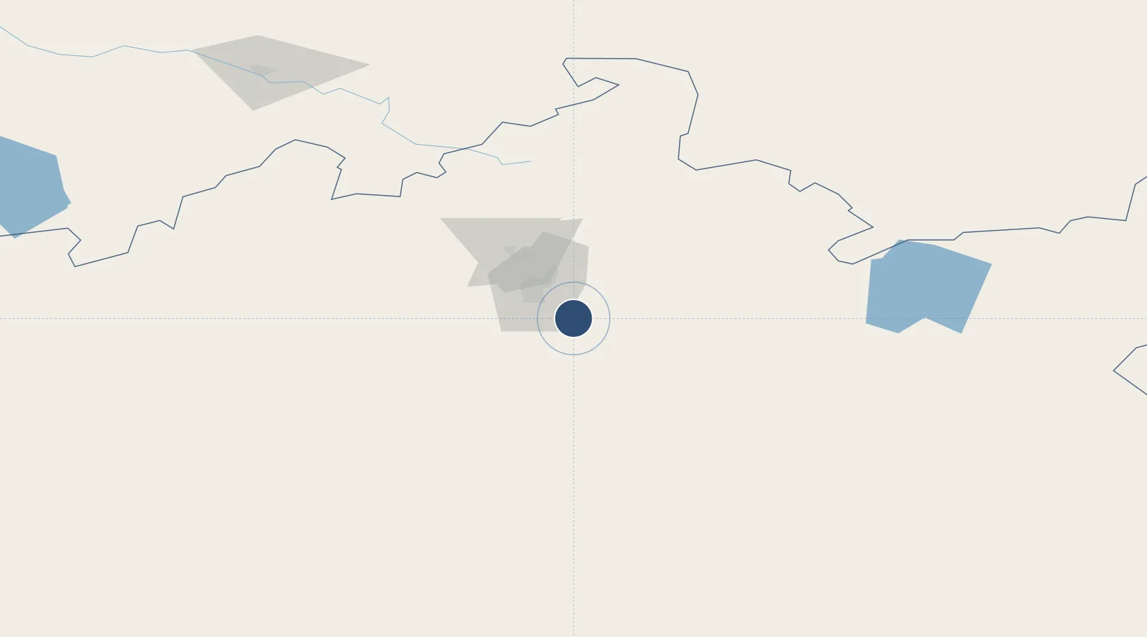
49.6708°, 73.3344°
10,831 ft
Longest runway
1
Runways
1,765 ft
Elevation

Runway & Layout

Sary-Arka Airport runway & taxiway layout
Runway & taxiway layout — OpenStreetMap (ODbL) / OurAirports

Radio Frequencies

TWR
118.3 MHz
APP
122 MHz
OurAirports

Navaids

KA NDB Karaganda 299 kHz
KRG VOR-DME Karaganda 113.40 MHz
RG NDB Karaganda 299 kHz
OurAirports

Runways · 1

RunwayDimensions SurfaceTrue headingLit
05/23 10,831 × 197ft Concrete 058°
OurAirports

Airport Specifications

IATA code
KGF
OurAirports
ICAO code
UAKK
OurAirports
Airport class
Large airport
OurAirports
Scheduled service
Yes
OurAirports
Runway surface
Concrete
OurAirports
Served city
Karaganda
OurAirports

Location

Location of UAKK
Natural Earth 10m (public domain) · Qaraghandy · UAKK · 49.67, 73.33GoogleOSMYandex

Nearby Logistics Neighbours

Airports
  1. 1Nursultan Nazarbayev International Airport201 km
  2. 2Ekibastuz Airport251 km
  3. 3Balkhash Airport333 km
  4. 4Pavlodar International Airport384 km
  5. 5Kurchatov Airfield389 km
Nearest neighbours — logibook spatial index (haversine) over the source coordinates
Cities
  1. 1Karaganda22 km
  2. 2Temirtau54 km
  3. 3Dernbach109 km
  4. 4Bielstein146 km
  5. 5Schonried363 km
Nearest neighbours — logibook spatial index (haversine) over the source coordinates
Ports
  1. 1Igarka2111 km
  2. 2Dudinka2299 km
  3. 3Jazireh-Ye Hormoz2894 km
  4. 4Bandar Abbas2900 km
  5. 5Bandar-E Shahid Rejaie2911 km
Nearest neighbours — logibook spatial index (haversine) over the source coordinates
Trade Zones
  1. 1Saryarka Special Economic Zone21 km
  2. 2Astana Technopolis Special Economic Zone209 km
  3. 3Astana New City Special Economic Zone211 km
  4. 4Pavlodar Special Economic Zone394 km
  5. 5Qyzyljar Special Economic Zone644 km
Nearest neighbours — logibook spatial index (haversine) over the source coordinates
DatabookThe Record of Consolidated Knowledge
Kazakhstan beyond logistics?
Browse databook

All Sources

AirportsOurAirports
Public domain
Portsthe NGA World Port Index
Public domain (US gov)
LocationsUN/LOCODE
UN/LOCODE — free
Trade Zonesthe World Bank SEZ database
CC BY 4.0
Trade ZonesOpen Zone Map
CC BY
InfrastructureOpenStreetMap
ODbL 1.0
← Kazakhstan airports