Diversified Zone · Kyrgyzstan

Maimak Special Economic Zone Under Development
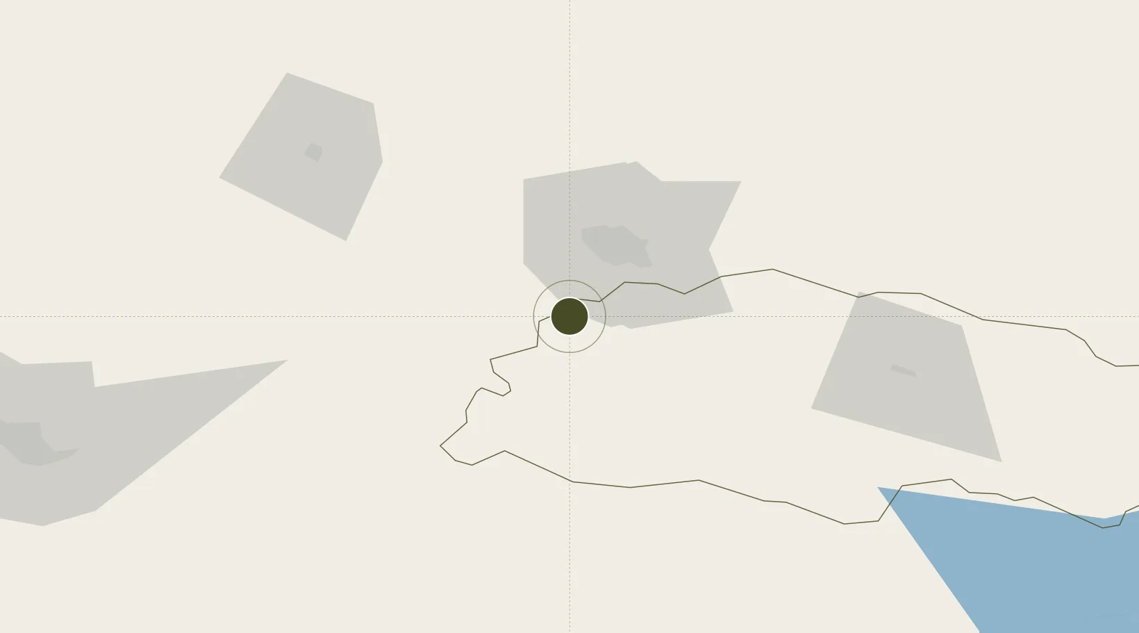
42.6927°, 71.2403°
159 ha
Zone area
2,024.9 km
Nearest port
18.6 km
Nearest airport

Gateway access

Nearest neighbours — logibook spatial index (haversine) over the source coordinates

Zone profile

Zone type
Diversified Zone
Open Zone Map
Region
Talas
Open Zone Map
Status
Under Development
Open Zone Map
Management
Public
Open Zone Map
Operator
General Directorate of FEZ "Maimak"
Open Zone Map
Legal framework
Statement About Free Economic Zone "Maimak" dated July 8, 2016 No. 376
Open Zone Map

Location

Location of ozm-2684
Natural Earth 10m (public domain) · Talas · ozm-2684 · 42.69, 71.24GoogleOSMYandex

Nearby Logistics Neighbours

Ports
  1. 1Muhamamad Bin Qasim2025 km
  2. 2Karachi2029 km
  3. 3Gwadar2117 km
  4. 4Chah Bahar2167 km
  5. 5Jazireh-Ye Hormoz2190 km
Nearest neighbours — logibook spatial index (haversine) over the source coordinates
Airports
  1. 1Taraz International Airport19 km
  2. 2Talas Airport86 km
  3. 3Kerben Airport140 km
  4. 4Shymkent International Airport149 km
  5. 5Namangan International Airport192 km
Nearest neighbours — logibook spatial index (haversine) over the source coordinates
Cities
  1. 1Taraz30 km
  2. 2Aksukent119 km
  3. 3Chimkent141 km
  4. 4Arys202 km
  5. 5Saryagach220 km
Nearest neighbours — logibook spatial index (haversine) over the source coordinates
Trade Zones
  1. 1Ontustik Special Economic Zone138 km
  2. 2Charvak Chorvoq Free Economic Zone159 km
  3. 3Kosonsoy-pharm Free Economic Zone161 km
  4. 4Bustonliq-pharm Free Economic Zone175 km
  5. 5Namangan Free Economic Zone191 km
Nearest neighbours — logibook spatial index (haversine) over the source coordinates
DatabookThe Record of Consolidated Knowledge
Kyrgyzstan beyond logistics?
Browse databook

All Sources

Trade ZonesOpen Zone Map
CC BY
Portsthe NGA World Port Index
Public domain (US gov)
AirportsOurAirports
Public domain
LocationsUN/LOCODE
UN/LOCODE — free
← Kyrgyzstan trade zones