Medium airport · Kazakhstan

Balkhash AirportUAAH
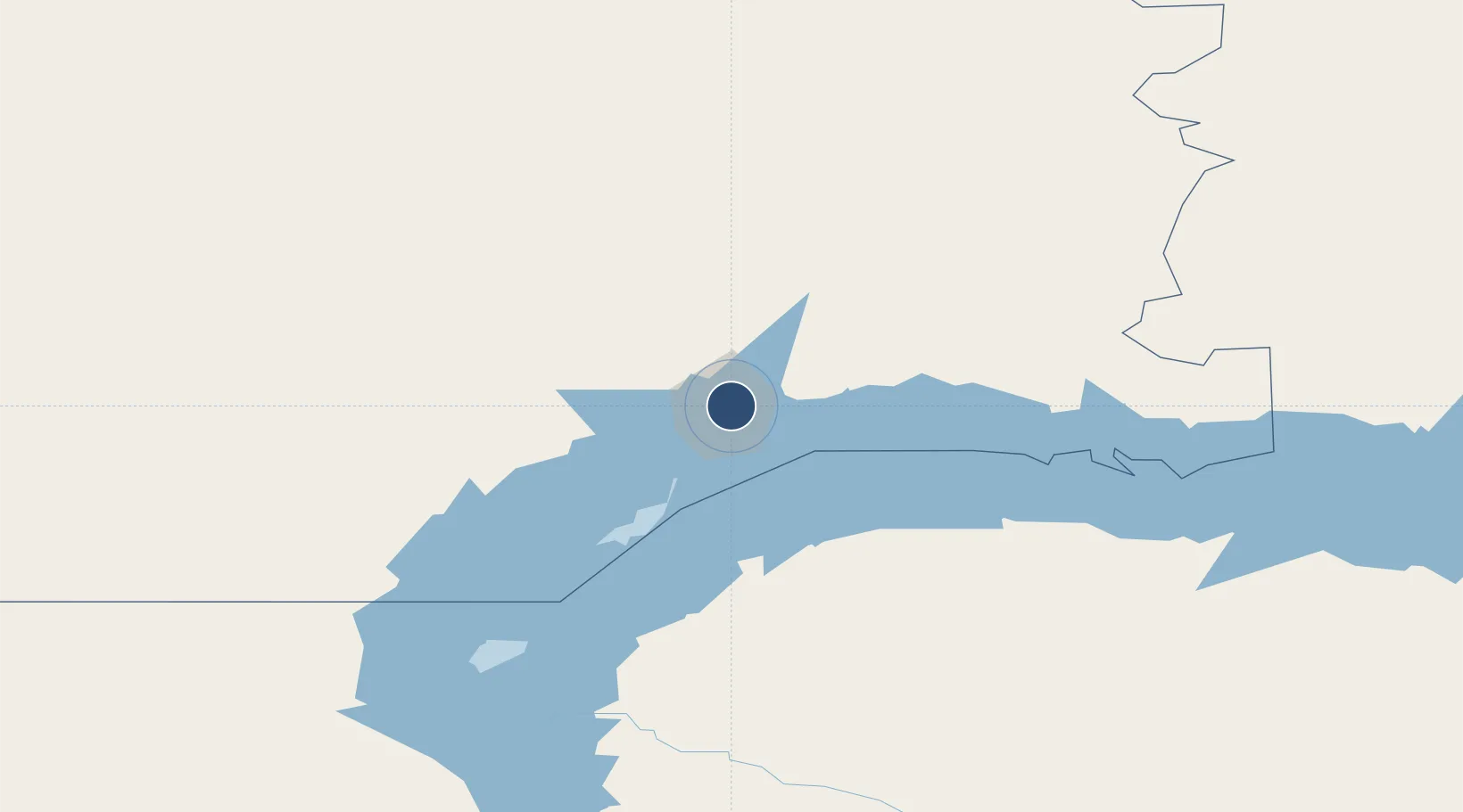
46.8942°, 75.0045°
8,208 ft
Longest runway
1
Runways
1,446 ft
Elevation

Runway & Layout

Balkhash Airport runway & taxiway layout
Runway & taxiway layout — OpenStreetMap (ODbL) / OurAirports

Radio Frequencies

TWR
128 MHz
OurAirports

Navaids

BA NDB Balkhash 456 kHz
BLH VOR-DME Balkhash 113.70 MHz
OurAirports

Runways · 1

RunwayDimensions SurfaceTrue headingLit
05/23 8,208 × 131ft Concrete 052°
OurAirports

Airport Specifications

IATA code
BXH
OurAirports
ICAO code
UAAH
OurAirports
Airport class
Medium airport
OurAirports
Scheduled service
Yes
OurAirports
Runway surface
Concrete
OurAirports
Served city
Balkhash
OurAirports

Location

Location of UAAH
Natural Earth 10m (public domain) · Qaraghandy · UAAH · 46.89, 75.00GoogleOSMYandex

Nearby Logistics Neighbours

Airports
  1. 1Taldykorgan Airport331 km
  2. 2Sary-Arka Airport333 km
  3. 3Almaty International Airport425 km
  4. 4Manas International Airport428 km
  5. 5Kant Air Base450 km
Nearest neighbours — logibook spatial index (haversine) over the source coordinates
Cities
  1. 1Schonried221 km
  2. 2Bataapati237 km
  3. 3Karaganda352 km
  4. 4Temirtau386 km
  5. 5Dernbach413 km
Nearest neighbours — logibook spatial index (haversine) over the source coordinates
Ports
  1. 1Igarka2382 km
  2. 2Muhamamad Bin Qasim2552 km
  3. 3Karachi2559 km
  4. 4Dudinka2577 km
  5. 5Gwadar2668 km
Nearest neighbours — logibook spatial index (haversine) over the source coordinates
Trade Zones
  1. 1Saryarka Special Economic Zone354 km
  2. 2Chemical Park Taraz Special Economic Zone394 km
  3. 3Park of Innovative Technologies Special Economic Zone428 km
  4. 4Leilek Special Economic Zone455 km
  5. 5Bishkek Special Economic Zone456 km
Nearest neighbours — logibook spatial index (haversine) over the source coordinates
DatabookThe Record of Consolidated Knowledge
Kazakhstan beyond logistics?
Browse databook

All Sources

AirportsOurAirports
Public domain
Portsthe NGA World Port Index
Public domain (US gov)
LocationsUN/LOCODE
UN/LOCODE — free
Trade Zonesthe World Bank SEZ database
CC BY 4.0
Trade ZonesOpen Zone Map
CC BY
InfrastructureOpenStreetMap
ODbL 1.0
← Kazakhstan airports