Transport Functions
Multimodal
Hub Profile
Place type
Populated place
Region
Bern
Time zone
Europe/Zurich
Elevation
1,236 m
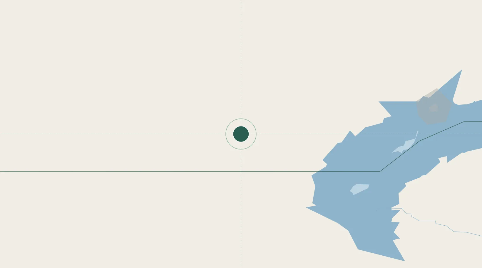
Location
Nearby Logistics Neighbours
Ports
- 1Muhamamad Bin Qasim2454 km
- 2Karachi2458 km
- 3Igarka2474 km
- 4Gwadar2532 km
- 5Jazireh-Ye Hormoz2561 km
Airports
- 1Balkhash Airport221 km
- 2Zhezkazgan National Airport361 km
- 3Sary-Arka Airport363 km
- 4Taraz International Airport411 km
- 5Manas International Airport424 km
Trade Zones
DatabookThe Record of Consolidated Knowledge
Switzerland beyond logistics?