Large airport · Kazakhstan

Taraz International AirportUADD
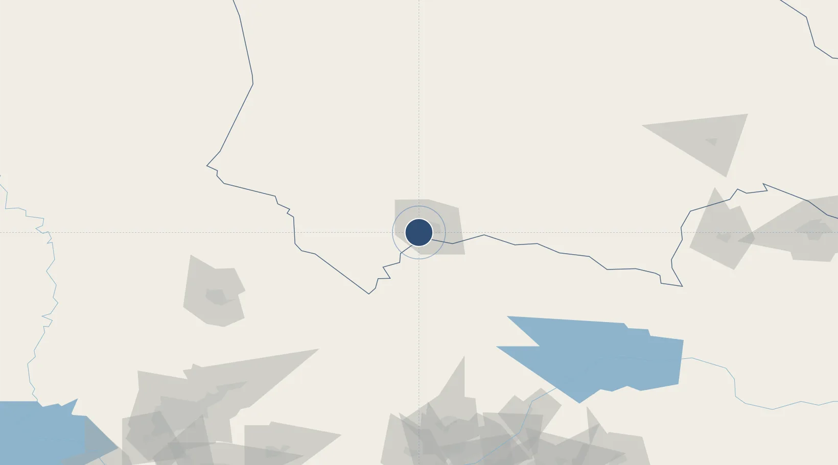
42.8536°, 71.3036°
9,514 ft
Longest runway
1
Runways
2,184 ft
Elevation

Runway & Layout

Taraz International Airport runway & taxiway layout
Runway & taxiway layout — OpenStreetMap (ODbL) / OurAirports

Radio Frequencies

TWR
122.1 MHz
APP
122.1 MHz
OurAirports

Navaids

MB NDB Taraz 103 kHz
YL NDB Taraz 103 kHz
OurAirports

Runways · 1

RunwayDimensions SurfaceTrue headingLit
13/31 9,514 × 148ft Asphalt 137°
OurAirports

Airport Specifications

IATA code
DMB
OurAirports
ICAO code
UADD
OurAirports
Airport class
Large airport
OurAirports
Scheduled service
Yes
OurAirports
Runway surface
Asphalt
OurAirports
Served city
Taraz
OurAirports

Location

Location of UADD
Natural Earth 10m (public domain) · Zhambyl · UADD · 42.85, 71.30GoogleOSMYandex

Nearby Logistics Neighbours

Airports
  1. 1Talas Airport87 km
  2. 2Kerben Airport156 km
  3. 3Shymkent International Airport159 km
  4. 4Namangan International Airport209 km
  5. 5Hazrat Sultan International Airport229 km
Nearest neighbours — logibook spatial index (haversine) over the source coordinates
Cities
  1. 1Taraz12 km
  2. 2Aksukent130 km
  3. 3Chimkent153 km
  4. 4Arys210 km
  5. 5Saryagach235 km
Nearest neighbours — logibook spatial index (haversine) over the source coordinates
Ports
  1. 1Muhamamad Bin Qasim2043 km
  2. 2Karachi2048 km
  3. 3Gwadar2135 km
  4. 4Chah Bahar2185 km
  5. 5Jazireh-Ye Hormoz2206 km
Nearest neighbours — logibook spatial index (haversine) over the source coordinates
Trade Zones
  1. 1Maimak Special Economic Zone19 km
  2. 2Ontustik Special Economic Zone149 km
  3. 3Charvak Chorvoq Free Economic Zone176 km
  4. 4Kosonsoy-pharm Free Economic Zone178 km
  5. 5Bustonliq-pharm Free Economic Zone191 km
Nearest neighbours — logibook spatial index (haversine) over the source coordinates
DatabookThe Record of Consolidated Knowledge
Kazakhstan beyond logistics?
Browse databook

All Sources

AirportsOurAirports
Public domain
Portsthe NGA World Port Index
Public domain (US gov)
LocationsUN/LOCODE
UN/LOCODE — free
Trade Zonesthe World Bank SEZ database
CC BY 4.0
Trade ZonesOpen Zone Map
CC BY
InfrastructureOpenStreetMap
ODbL 1.0
← Kazakhstan airports