Large airport · Kazakhstan

Zhezkazgan National AirportUAKD
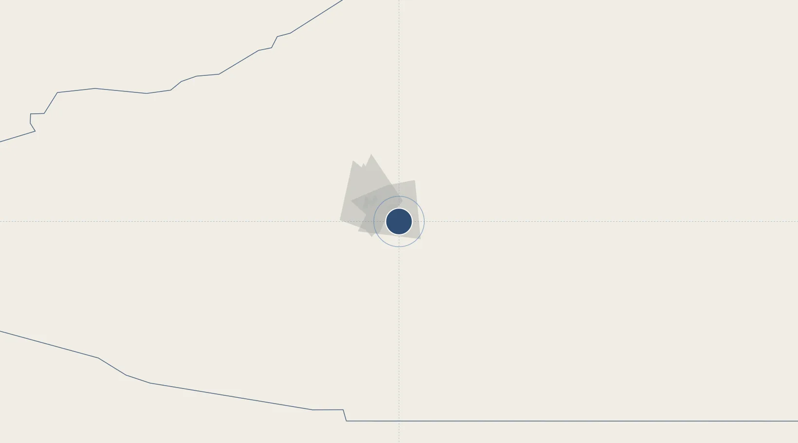
47.7090°, 67.7381°
8,530 ft
Longest runway
1
Runways
1,250 ft
Elevation

Runway & Layout

Zhezkazgan National Airport runway & taxiway layout
Runway & taxiway layout — OpenStreetMap (ODbL) / OurAirports

Radio Frequencies

TWR
127.1 MHz
OurAirports

Navaids

DZG VOR-DME Zhezkazgan 113.30 MHz
GN NDB Zhezkazgan 435 kHz
ZK NDB Zhezkazgan 435 kHz
OurAirports

Runways · 1

RunwayDimensions SurfaceTrue headingLit
04/22 8,530 × 138ft Concrete 052°
OurAirports

Airport Specifications

IATA code
DZN
OurAirports
ICAO code
UAKD
OurAirports
Airport class
Large airport
OurAirports
Scheduled service
Yes
OurAirports
Runway surface
Concrete
OurAirports
Served city
Zhezkazgan
OurAirports

Location

Location of UAKD
Natural Earth 10m (public domain) · Qaraghandy · UAKD · 47.71, 67.74GoogleOSMYandex

Nearby Logistics Neighbours

Airports
  1. 1Korkyt Ata International Airport372 km
  2. 2Yubileyniy Airfield388 km
  3. 3Baikonur Krayniy International Airport416 km
  4. 4Nursultan Nazarbayev International Airport457 km
  5. 5Sary-Arka Airport465 km
Nearest neighbours — logibook spatial index (haversine) over the source coordinates
Cities
  1. 1Abweiler294 km
  2. 2Schonried361 km
  3. 3Bataapati368 km
  4. 4Karaganda457 km
  5. 5Temirtau462 km
Nearest neighbours — logibook spatial index (haversine) over the source coordinates
Ports
  1. 1Bandar-E Mahshahr2485 km
  2. 2Bandar Khomeyni2493 km
  3. 3Bushehr2539 km
  4. 4Kharg Island Oil Terminal2540 km
  5. 5Khorramshahr2543 km
Nearest neighbours — logibook spatial index (haversine) over the source coordinates
Trade Zones
  1. 1Astana Technopolis Special Economic Zone460 km
  2. 2Astana New City Special Economic Zone466 km
  3. 3Saryarka Special Economic Zone468 km
  4. 4Turkistan Special Economic Zone492 km
  5. 5Maimak Special Economic Zone622 km
Nearest neighbours — logibook spatial index (haversine) over the source coordinates
DatabookThe Record of Consolidated Knowledge
Kazakhstan beyond logistics?
Browse databook

All Sources

AirportsOurAirports
Public domain
Portsthe NGA World Port Index
Public domain (US gov)
LocationsUN/LOCODE
UN/LOCODE — free
Trade Zonesthe World Bank SEZ database
CC BY 4.0
Trade ZonesOpen Zone Map
CC BY
InfrastructureOpenStreetMap
ODbL 1.0
← Kazakhstan airports