UN/LOCODE hub · Kazakhstan
KZKGF

Karaganda

49.8002°, 73.1058°
3
Transport functions

Transport Functions

Rail
Road
Airport
UN/LOCODE

Hub Profile

Region
35
GeoNames
Logistics facilities
2
UN/LOCODE

Location

Location of KZKGF
Natural Earth 10m (public domain) · 35 · KZKGF · 49.80, 73.11GoogleOSMYandex

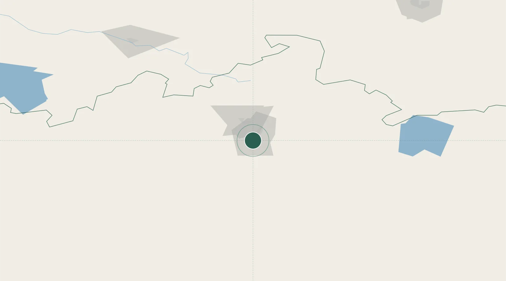
Nearby Logistics Neighbours

Cities
  1. 1Temirtau34 km
  2. 2Dernbach105 km
  3. 3Bielstein130 km
  4. 4Schonried374 km
  5. 5Bataapati406 km
Nearest neighbours — logibook spatial index (haversine) over the source coordinates
Ports
  1. 1Igarka2102 km
  2. 2Dudinka2288 km
  3. 3Jazireh-Ye Hormoz2896 km
  4. 4Bandar Abbas2902 km
  5. 5Bandar-E Shahid Rejaie2913 km
Nearest neighbours — logibook spatial index (haversine) over the source coordinates
Airports
  1. 1Sary-Arka Airport22 km
  2. 2Nursultan Nazarbayev International Airport179 km
  3. 3Ekibastuz Airport248 km
  4. 4Balkhash Airport352 km
  5. 5Pavlodar International Airport385 km
Nearest neighbours — logibook spatial index (haversine) over the source coordinates
Trade Zones
  1. 1Saryarka Special Economic Zone12 km
  2. 2Astana Technopolis Special Economic Zone188 km
  3. 3Astana New City Special Economic Zone190 km
  4. 4Pavlodar Special Economic Zone393 km
  5. 5Qyzyljar Special Economic Zone624 km
Nearest neighbours — logibook spatial index (haversine) over the source coordinates
DatabookThe Record of Consolidated Knowledge
Kazakhstan beyond logistics?
Browse databook

All Sources

LocationsUN/LOCODE
UN/LOCODE — free
Portsthe NGA World Port Index
Public domain (US gov)
AirportsOurAirports
Public domain
Trade Zonesthe World Bank SEZ database
CC BY 4.0
Trade ZonesOpen Zone Map
CC BY
← Kazakhstan locations