UN/LOCODE hub · Bosnia & Herzegovina
BADOJ
Domaljevac
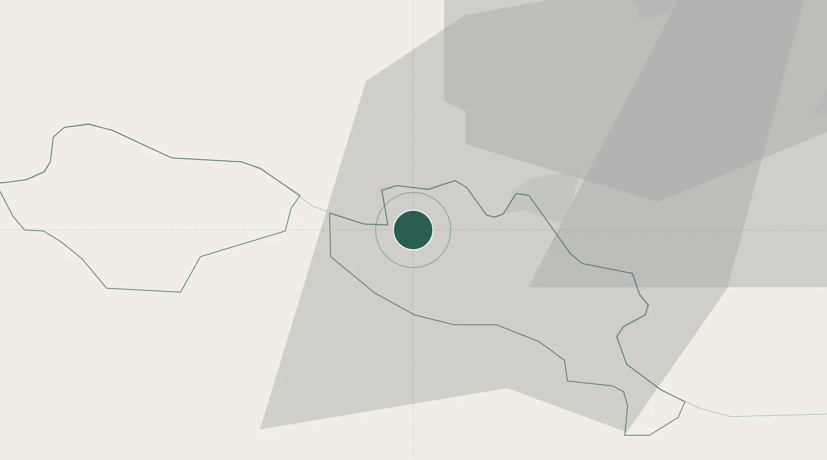
45.0500°, 18.5667°
4
Population
2
Transport functions
Transport Functions
Port
Multimodal
Hub Profile
Place type
District seat
Region
Federation of B&H
Population
4
Time zone
Europe/Sarajevo
Elevation
84 m
Location
Nearby Logistics Neighbours
Cities
- 1Zupanja9 km
- 2Orasje11 km
- 3Velika Kopanica18 km
- 4Modrica25 km
- 5Brcko27 km
Airports
- 1Osijek Airport50 km
- 2Tuzla International Airport67 km
- 3Banja Luka International Airport101 km
- 4Pécs-Pogány International Airport107 km
- 5Batajnica Air Base134 km
Trade Zones
- 1Osijek Free Zone32 km
- 2Duro Daković Free Zone46 km
- 3Podunavska Gospodarska Zona Vukovar47 km
- 4Free Zone Holc, Lukavac57 km
- 5Apatin Free Zone77 km
DatabookThe Record of Consolidated Knowledge
Bosnia & Herzegovina beyond logistics?