UN/LOCODE hub · Croatia
HRVKO
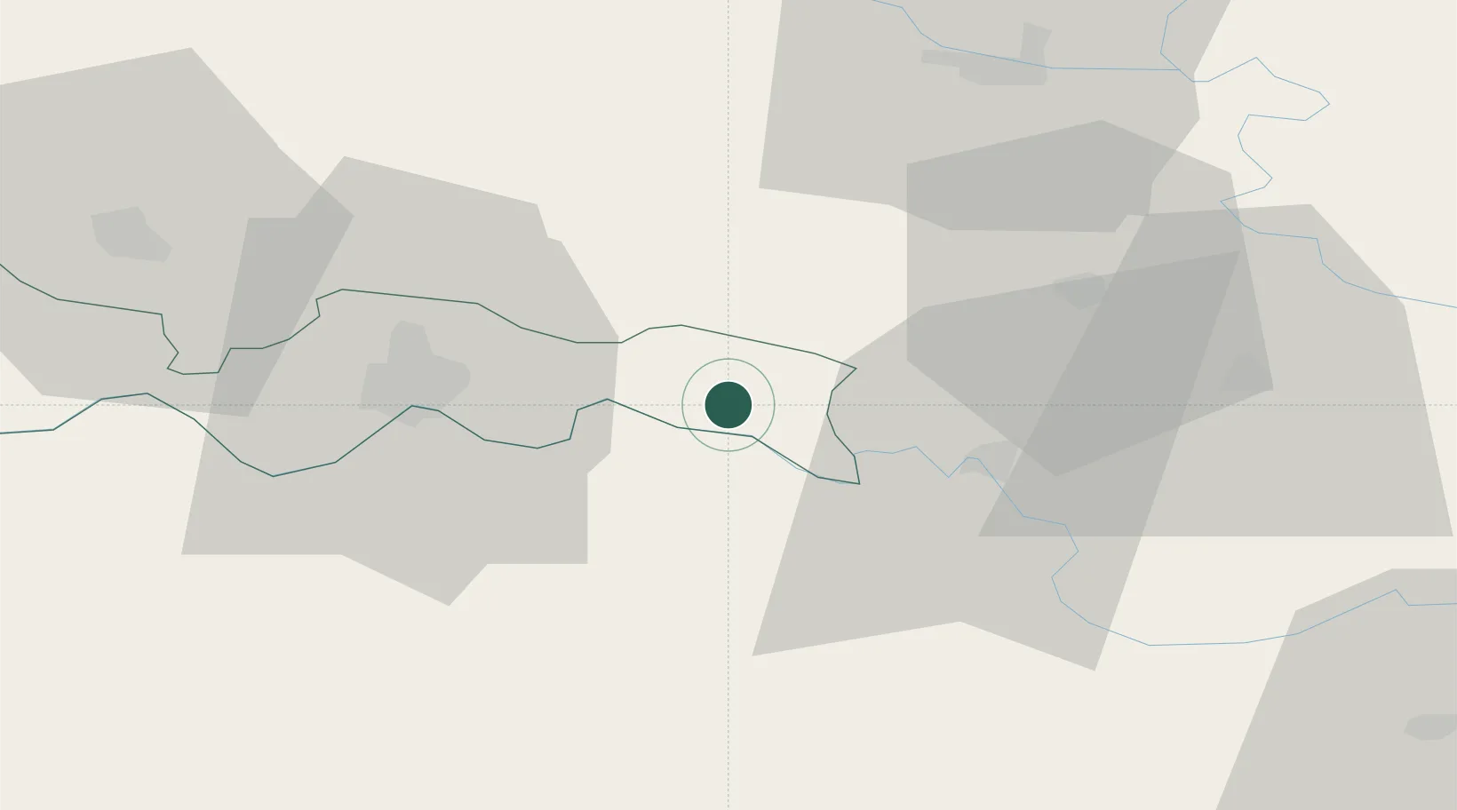
Velika Kopanica
45.1500°, 18.3833°
1,412
Population
2
Transport functions
Transport Functions
Rail
Road
Hub Profile
Place type
Provincial seat
Region
Brod-Posavina
Population
1,412
Time zone
Europe/Zagreb
Elevation
86 m
Location
Nearby Logistics Neighbours
Cities
- 1Domaljevac18 km
- 2Trnjani20 km
- 3Modrica24 km
- 4Zupanja25 km
- 5Slavonski Brod26 km
Airports
- 1Osijek Airport48 km
- 2Tuzla International Airport81 km
- 3Banja Luka International Airport88 km
- 4Pécs-Pogány International Airport94 km
- 5Taszár Air Base143 km
Trade Zones
- 1Osijek Free Zone20 km
- 2Duro Daković Free Zone30 km
- 3Podunavska Gospodarska Zona Vukovar53 km
- 4Free Zone Holc, Lukavac68 km
- 5Apatin Free Zone74 km
DatabookThe Record of Consolidated Knowledge
Croatia beyond logistics?