UN/LOCODE hub · Croatia
HRVRG

Vrgada

43.8667°, 15.5000°
209
Population
2
Transport functions

Transport Functions

Port
Road
UN/LOCODE

Hub Profile

Place type
Populated place
GeoNames
Region
Zadar
GeoNames
Population
209
GeoNames
Time zone
Europe/Zagreb
GeoNames
Elevation
19 m
GeoNames

Location

Location of HRVRG
Natural Earth 10m (public domain) · Zadar · HRVRG · 43.87, 15.50GoogleOSMYandex

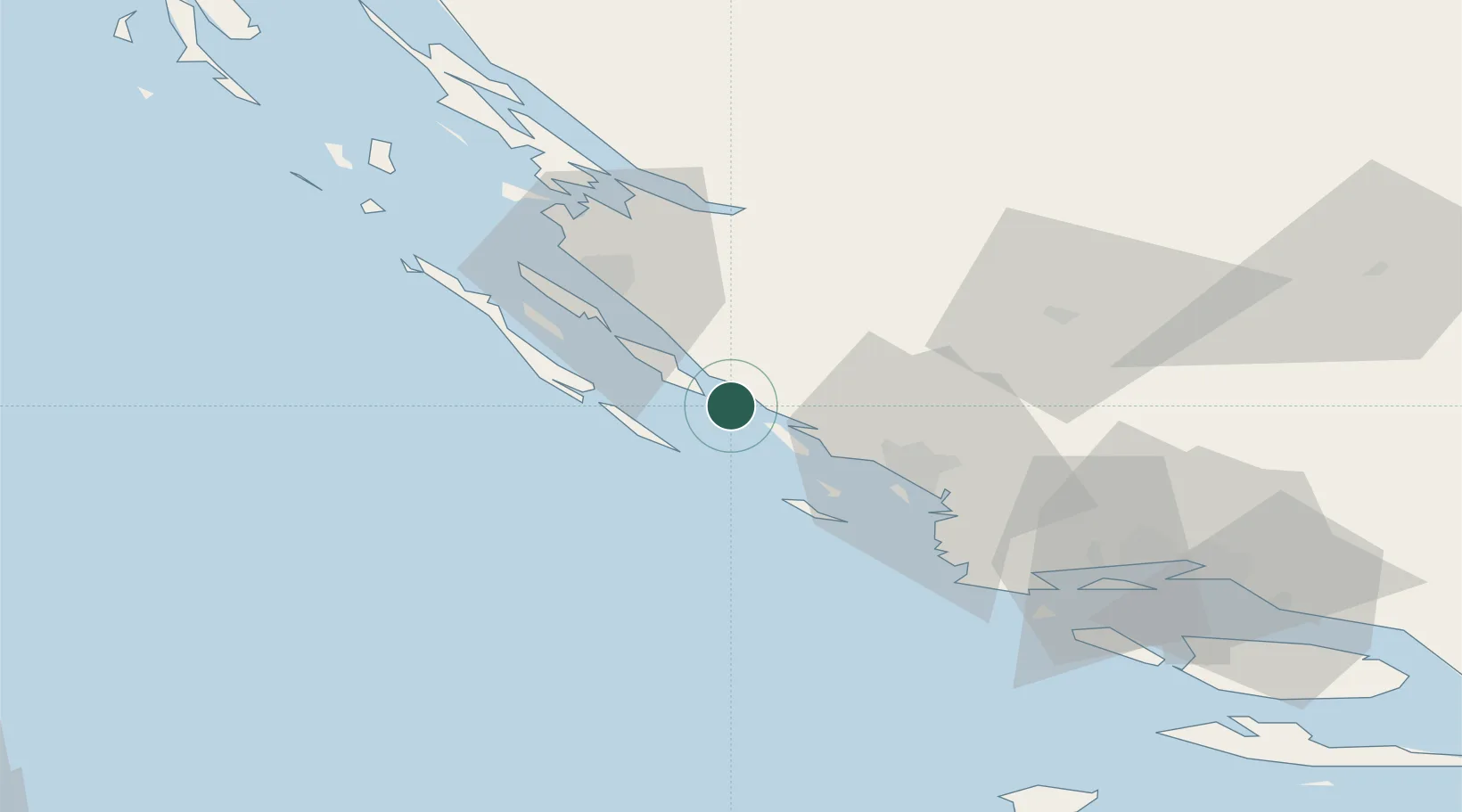
Nearby Logistics Neighbours

Cities
  1. 1Tkon7 km
  2. 2Biograd na Moru8 km
  3. 3Murter10 km
  4. 4Filipjakov13 km
  5. 5Pasman13 km
Nearest neighbours — logibook spatial index (haversine) over the source coordinates
Ports
  1. 1Sibenik34 km
  2. 2Zadar36 km
  3. 3Split85 km
  4. 4Dugi Rat104 km
  5. 5Senj133 km
Nearest neighbours — logibook spatial index (haversine) over the source coordinates
Airports
  1. 1Zadar Airport28 km
  2. 2Split Saint Jerome Airport74 km
  3. 3Udbina Airfield80 km
  4. 4Brač Airport115 km
  5. 5Rijeka Airport167 km
Nearest neighbours — logibook spatial index (haversine) over the source coordinates
Trade Zones
  1. 1Port of Split Free Zone84 km
  2. 2Split-Dalmatia Free Zone86 km
  3. 3Port of Pula Free Zone173 km
  4. 4Port of Rijeka Free Zone177 km
  5. 5Port of Ploče Free Zone181 km
Nearest neighbours — logibook spatial index (haversine) over the source coordinates
DatabookThe Record of Consolidated Knowledge
Croatia beyond logistics?
Browse databook

All Sources

LocationsUN/LOCODE
UN/LOCODE — free
LocationsGeoNames
CC BY 4.0
Portsthe NGA World Port Index
Public domain (US gov)
AirportsOurAirports
Public domain
Trade Zonesthe World Bank SEZ database
CC BY 4.0
Trade ZonesOpen Zone Map
CC BY
← Croatia locations