UN/LOCODE hub · Croatia
HRBNM
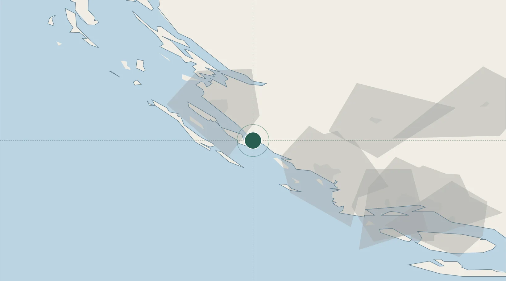
Biograd na Moru
43.9333°, 15.4500°
5,601
Population
2
Transport functions
Transport Functions
Port
Road
Hub Profile
Place type
Provincial seat
Region
Zadar
Population
5,601
Time zone
Europe/Zagreb
Elevation
17 m
Location
Nearby Logistics Neighbours
Cities
- 1Tkon2 km
- 2Filipjakov5 km
- 3Turanj6 km
- 4Pasman6 km
- 5Vrgada8 km
Airports
- 1Zadar Airport20 km
- 2Udbina Airfield74 km
- 3Split Saint Jerome Airport81 km
- 4Brač Airport122 km
- 5Rijeka Airport159 km
Trade Zones
- 1Port of Split Free Zone91 km
- 2Split-Dalmatia Free Zone93 km
- 3Port of Pula Free Zone165 km
- 4Port of Rijeka Free Zone169 km
- 5Free Zone Kukuljanovo173 km
DatabookThe Record of Consolidated Knowledge
Croatia beyond logistics?