UN/LOCODE hub · Croatia
HRPAS

Pasman

43.9500°, 15.3833°
346
Population
1
Transport functions

Transport Functions

Port
UN/LOCODE

Hub Profile

Place type
Provincial seat
GeoNames
Region
Zadar
GeoNames
Population
346
GeoNames
Time zone
Europe/Zagreb
GeoNames
Elevation
1 m
GeoNames

Location

Location of HRPAS
Natural Earth 10m (public domain) · Zadar · HRPAS · 43.95, 15.38GoogleOSMYandex

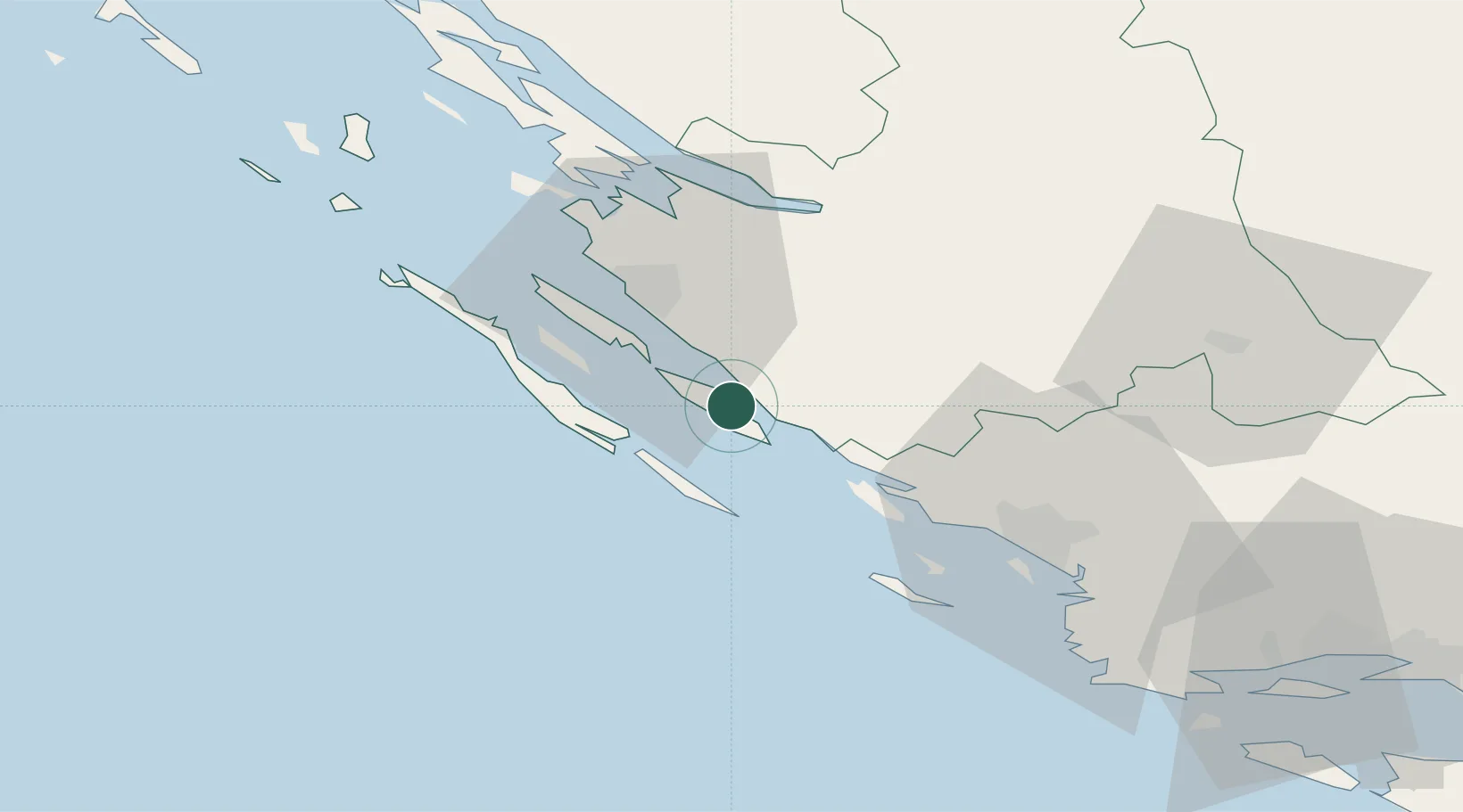
Nearby Logistics Neighbours

Cities
  1. 1Turanj2 km
  2. 2Filipjakov3 km
  3. 3Biograd na Moru6 km
  4. 4Tkon7 km
  5. 5Zut Marina11 km
Nearest neighbours — logibook spatial index (haversine) over the source coordinates
Ports
  1. 1Zadar23 km
  2. 2Sibenik47 km
  3. 3Split98 km
  4. 4Dugi Rat116 km
  5. 5Senj121 km
Nearest neighbours — logibook spatial index (haversine) over the source coordinates
Airports
  1. 1Zadar Airport17 km
  2. 2Udbina Airfield74 km
  3. 3Split Saint Jerome Airport87 km
  4. 4Brač Airport128 km
  5. 5Rijeka Airport155 km
Nearest neighbours — logibook spatial index (haversine) over the source coordinates
Trade Zones
  1. 1Port of Split Free Zone97 km
  2. 2Split-Dalmatia Free Zone99 km
  3. 3Port of Pula Free Zone160 km
  4. 4Port of Rijeka Free Zone164 km
  5. 5Free Zone Kukuljanovo169 km
Nearest neighbours — logibook spatial index (haversine) over the source coordinates
DatabookThe Record of Consolidated Knowledge
Croatia beyond logistics?
Browse databook

All Sources

LocationsUN/LOCODE
UN/LOCODE — free
LocationsGeoNames
CC BY 4.0
Portsthe NGA World Port Index
Public domain (US gov)
AirportsOurAirports
Public domain
Trade Zonesthe World Bank SEZ database
CC BY 4.0
Trade ZonesOpen Zone Map
CC BY
← Croatia locations