Transport Functions
Port
Road
Hub Profile
Place type
Provincial seat
Region
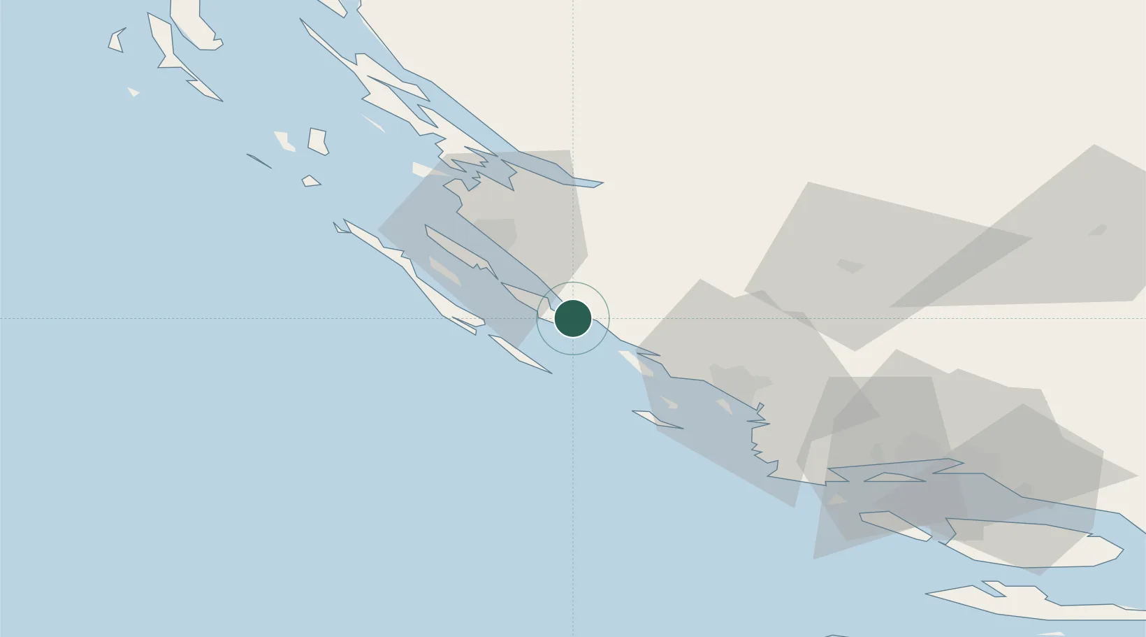
Zadar
Population
662
Time zone
Europe/Zagreb
Elevation
1 m
Location
Nearby Logistics Neighbours
Cities
- 1Biograd na Moru2 km
- 2Filipjakov6 km
- 3Pasman7 km
- 4Turanj7 km
- 5Vrgada7 km
Airports
- 1Zadar Airport22 km
- 2Udbina Airfield76 km
- 3Split Saint Jerome Airport80 km
- 4Brač Airport121 km
- 5Rijeka Airport160 km
Trade Zones
- 1Port of Split Free Zone90 km
- 2Split-Dalmatia Free Zone92 km
- 3Port of Pula Free Zone166 km
- 4Port of Rijeka Free Zone170 km
- 5Free Zone Kukuljanovo174 km
DatabookThe Record of Consolidated Knowledge
Croatia beyond logistics?