Medium airport · Croatia
Udbina AirfieldHR-0034
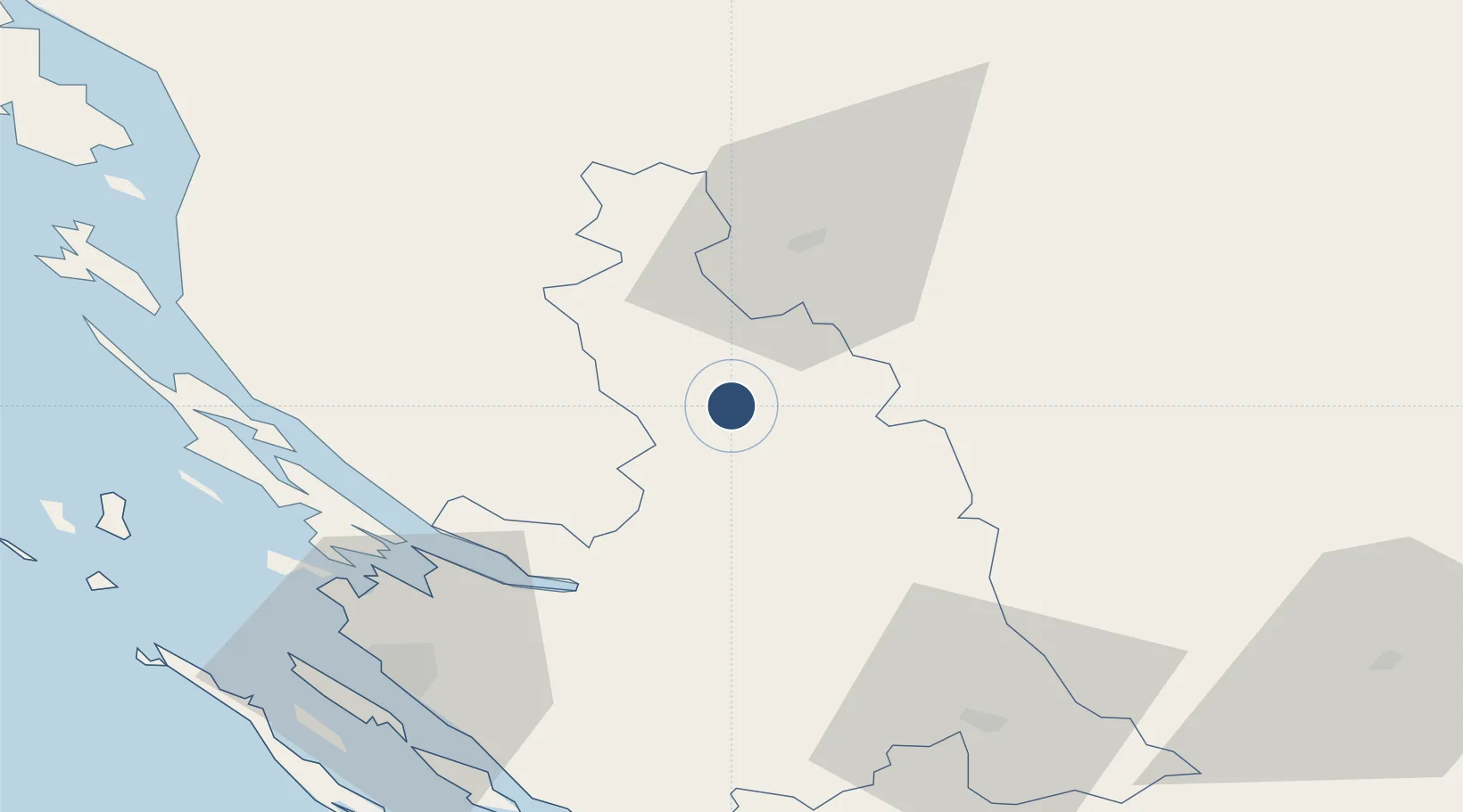
44.5576°, 15.7744°
9,022 ft
Longest runway
1
Runways
2,462 ft
Elevation
Runway & Layout

Radio Frequencies
TWR
118.2 MHz
APP
118.2 MHz
Runways · 1
| Runway | Dimensions | Surface | True heading | Lit |
|---|---|---|---|---|
| 13/31 | 9,022 × 98ft | Concrete | 127° | — |
Airport Specifications
ICAO code
LDZU
Airport class
Medium airport
Scheduled service
No
Runway surface
Concrete
Served city
Udbina
Location
Nearby Logistics Neighbours
Airports
- 1Zadar Airport61 km
- 2Rijeka Airport120 km
- 3Split Saint Jerome Airport121 km
- 4Banja Luka International Airport128 km
- 5Zagreb Franjo Tuđman International Airport134 km
Cities
- 1Gracac29 km
- 2Gospic32 km
- 3Starigrad39 km
- 4Maslenica43 km
- 5Novigrad (Dalmacija)45 km
Trade Zones
- 1Port of Split Free Zone127 km
- 2Split-Dalmatia Free Zone128 km
- 3Free Zone Kukuljanovo132 km
- 4PJ Free Zone Zagreb138 km
- 5Port of Rijeka Free Zone139 km
DatabookThe Record of Consolidated Knowledge
Croatia beyond logistics?