UN/LOCODE hub · Croatia
HRFIL

Filipjakov

43.9667°, 15.4167°
1
Transport functions

Transport Functions

Port
UN/LOCODE

Hub Profile

Region
13
GeoNames

Location

Location of HRFIL
Natural Earth 10m (public domain) · 13 · HRFIL · 43.97, 15.42GoogleOSMYandex

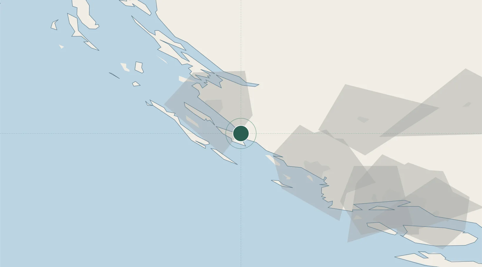
Nearby Logistics Neighbours

Cities
  1. 1Turanj1 km
  2. 2Pasman3 km
  3. 3Biograd na Moru5 km
  4. 4Tkon6 km
  5. 5Vrgada13 km
Nearest neighbours — logibook spatial index (haversine) over the source coordinates
Ports
  1. 1Zadar23 km
  2. 2Sibenik46 km
  3. 3Split97 km
  4. 4Dugi Rat115 km
  5. 5Senj120 km
Nearest neighbours — logibook spatial index (haversine) over the source coordinates
Airports
  1. 1Zadar Airport15 km
  2. 2Udbina Airfield72 km
  3. 3Split Saint Jerome Airport85 km
  4. 4Brač Airport127 km
  5. 5Rijeka Airport154 km
Nearest neighbours — logibook spatial index (haversine) over the source coordinates
Trade Zones
  1. 1Port of Split Free Zone95 km
  2. 2Split-Dalmatia Free Zone98 km
  3. 3Port of Pula Free Zone161 km
  4. 4Port of Rijeka Free Zone164 km
  5. 5Free Zone Kukuljanovo168 km
Nearest neighbours — logibook spatial index (haversine) over the source coordinates
DatabookThe Record of Consolidated Knowledge
Croatia beyond logistics?
Browse databook

All Sources

LocationsUN/LOCODE
UN/LOCODE — free
Portsthe NGA World Port Index
Public domain (US gov)
AirportsOurAirports
Public domain
Trade Zonesthe World Bank SEZ database
CC BY 4.0
Trade ZonesOpen Zone Map
CC BY
← Croatia locations