Transport Functions
Port
Road
Hub Profile
Place type
Provincial seat
Region
Šibenik-Knin
Population
1,920
Time zone
Europe/Zagreb
Elevation
1 m
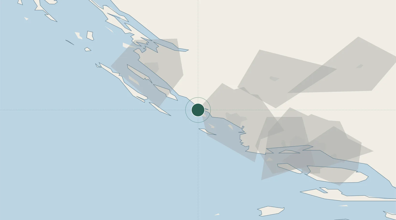
Location
Nearby Logistics Neighbours
Airports
- 1Zadar Airport37 km
- 2Split Saint Jerome Airport64 km
- 3Udbina Airfield84 km
- 4Brač Airport105 km
- 5Rijeka Airport176 km
Trade Zones
- 1Port of Split Free Zone74 km
- 2Split-Dalmatia Free Zone77 km
- 3Port of Ploče Free Zone171 km
- 4Port of Pula Free Zone182 km
- 5Free Zone Hercegovina186 km
DatabookThe Record of Consolidated Knowledge
Croatia beyond logistics?