Transport Functions
Rail
Road
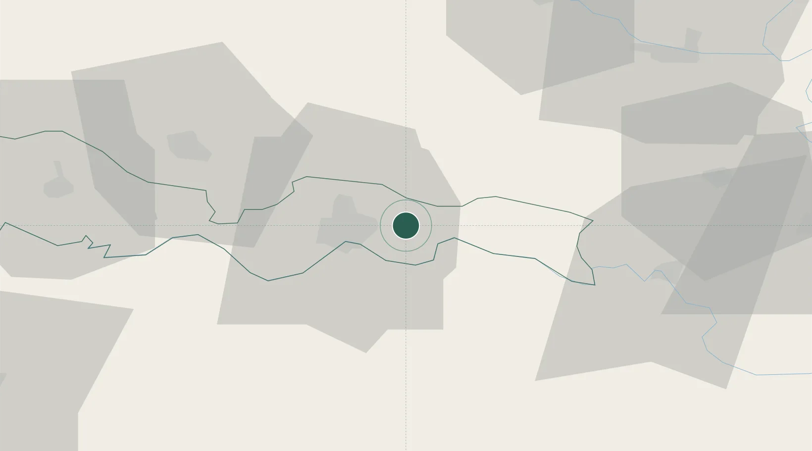
Hub Profile
Place type
Populated place
Region
Brod-Posavina
Population
697
Time zone
Europe/Zagreb
Elevation
100 m
Location
Nearby Logistics Neighbours
Cities
- 1Slavonski Brod7 km
- 2Bosanski Brod (Srpski Brod)13 km
- 3Velika Kopanica20 km
- 4Brodski Stupnik26 km
- 5Modrica29 km
Airports
- 1Osijek Airport61 km
- 2Banja Luka International Airport71 km
- 3Pécs-Pogány International Airport90 km
- 4Tuzla International Airport93 km
- 5Taszár Air Base136 km
Trade Zones
- 1Duro Daković Free Zone10 km
- 2Osijek Free Zone30 km
- 3Podunavska Gospodarska Zona Vukovar70 km
- 4Free Zone Holc, Lukavac77 km
- 5Apatin Free Zone85 km
DatabookThe Record of Consolidated Knowledge
Croatia beyond logistics?