Transport Functions
Port
Road
Hub Profile
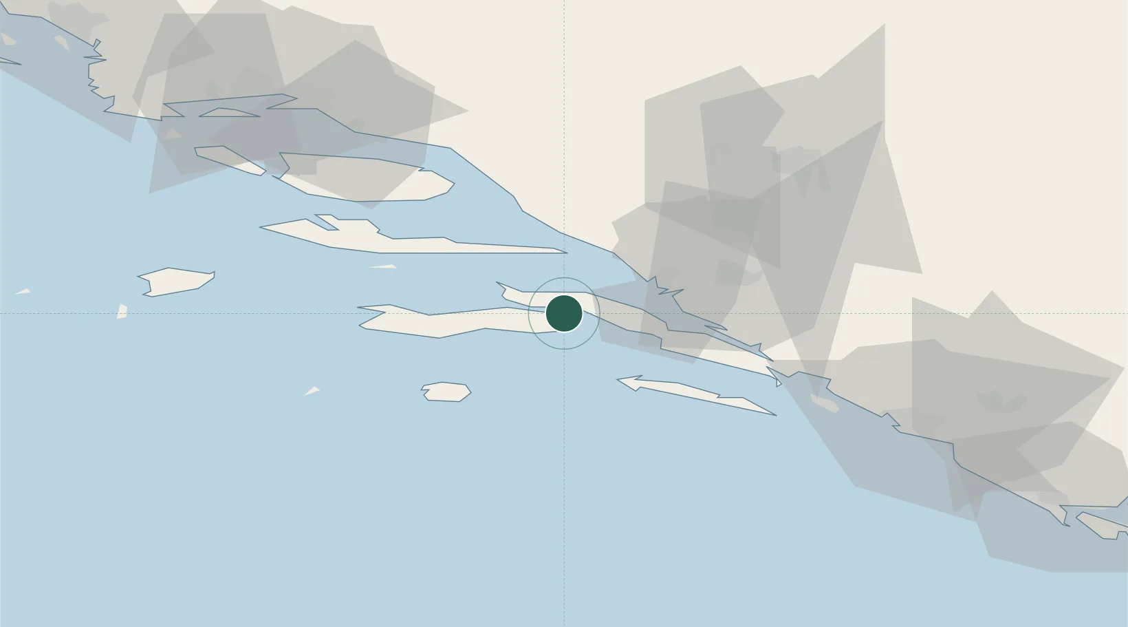
Place type
Provincial seat
Region
Dubrovnik-Neretva
Population
1,794
Time zone
Europe/Zagreb
Elevation
4 m
Location
Nearby Logistics Neighbours
Airports
Trade Zones
- 1Port of Ploče Free Zone22 km
- 2Free Zone Hercegovina63 km
- 3Split-Dalmatia Free Zone85 km
- 4Port of Split Free Zone87 km
- 5Free Zone Visoko140 km
DatabookThe Record of Consolidated Knowledge
Croatia beyond logistics?