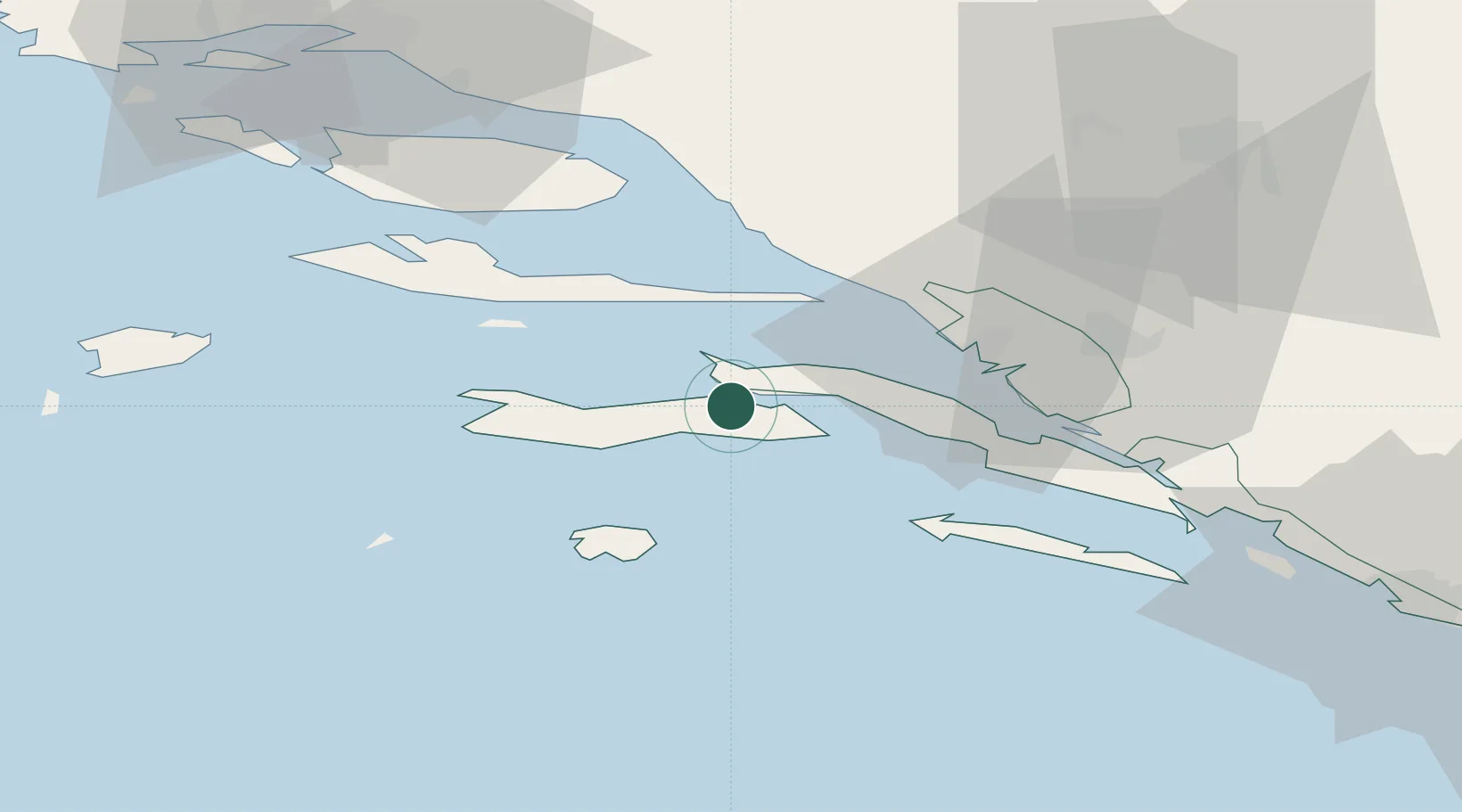
UN/LOCODE hub · Croatia
HRKZA

Kneza

42.9667°, 17.0500°
1
Transport functions

Transport Functions

Port
UN/LOCODE

Hub Profile

Place type
Populated place
GeoNames
Region
Dubrovnik-Neretva
GeoNames
Time zone
Europe/Zagreb
GeoNames
Elevation
0 m
GeoNames

Location

Location of HRKZA
Natural Earth 10m (public domain) · Dubrovnik-Neretva · HRKZA · 42.97, 17.05GoogleOSMYandex

Nearby Logistics Neighbours

Cities
  1. 1Viganj5 km
  2. 2Korcula6 km
  3. 3Orebic11 km
  4. 4Trpanj19 km
  5. 5Sucuraj20 km
Nearest neighbours — logibook spatial index (haversine) over the source coordinates
Ports
  1. 1Korcula8 km
  2. 2Ploce33 km
  3. 3Neum45 km
  4. 4Dugi Rat63 km
  5. 5Split78 km
Nearest neighbours — logibook spatial index (haversine) over the source coordinates
Airports
  1. 1Brač Airport47 km
  2. 2Mostar International Airport74 km
  3. 3Split Saint Jerome Airport88 km
  4. 4Dubrovnik Ruđer Bošković Airport109 km
  5. 5Sarajevo International Airport141 km
Nearest neighbours — logibook spatial index (haversine) over the source coordinates
Trade Zones
  1. 1Port of Ploče Free Zone32 km
  2. 2Free Zone Hercegovina72 km
  3. 3Split-Dalmatia Free Zone78 km
  4. 4Port of Split Free Zone79 km
  5. 5Free Zone Visoko146 km
Nearest neighbours — logibook spatial index (haversine) over the source coordinates
DatabookThe Record of Consolidated Knowledge
Croatia beyond logistics?
Browse databook

All Sources

LocationsUN/LOCODE
UN/LOCODE — free
Portsthe NGA World Port Index
Public domain (US gov)
AirportsOurAirports
Public domain
Trade Zonesthe World Bank SEZ database
CC BY 4.0
Trade ZonesOpen Zone Map
CC BY
← Croatia locations