Transport Functions
Port
Rail
Multimodal
Hub Profile
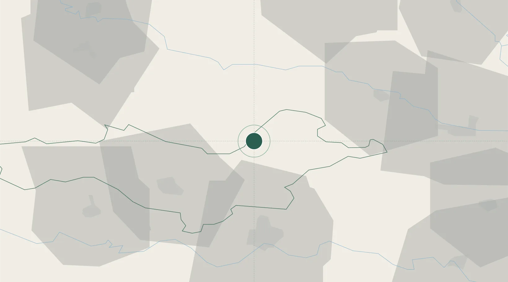
Place type
Provincial seat
Region
County of Osijek-Baranja
Population
1,332
Time zone
Europe/Zagreb
Elevation
127 m
Location
Nearby Logistics Neighbours
Cities
- 1Orahovica7 km
- 2Pozega30 km
- 3Trnjani39 km
- 4Belisce41 km
- 5Brodski Stupnik41 km
Airports
- 1Pécs-Pogány International Airport57 km
- 2Osijek Airport66 km
- 3Banja Luka International Airport83 km
- 4Taszár Air Base98 km
- 5Tuzla International Airport132 km
Trade Zones
- 1Duro Daković Free Zone39 km
- 2Osijek Free Zone44 km
- 3Apatin Free Zone80 km
- 4Podunavska Gospodarska Zona Vukovar83 km
- 5Free Zone Holc, Lukavac117 km
DatabookThe Record of Consolidated Knowledge
Croatia beyond logistics?