UN/LOCODE hub · Croatia
HRBSB
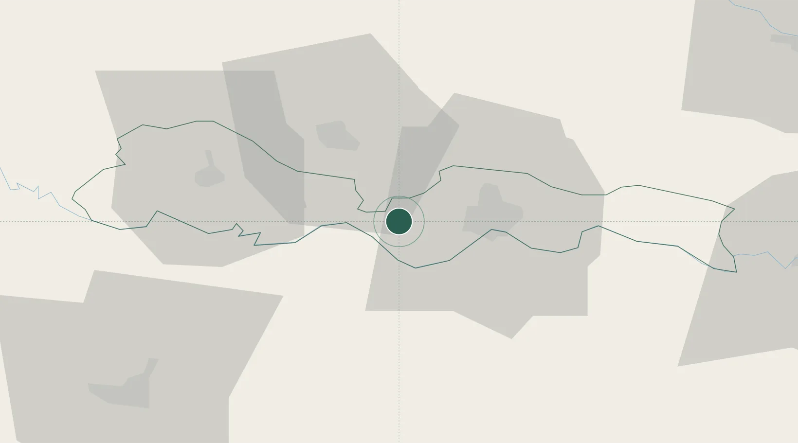
Brodski Stupnik
45.1667°, 17.8000°
1,285
Population
1
Transport functions
Transport Functions
Multimodal
Hub Profile
Place type
Provincial seat
Region
Brod-Posavina
Population
1,285
Time zone
Europe/Zagreb
Elevation
93 m
Location
Nearby Logistics Neighbours
Cities
- 1Oriovac4 km
- 2Bosanski Brod (Srpski Brod)15 km
- 3Slavonski Brod20 km
- 4Pozega21 km
- 5Trnjani26 km
Airports
- 1Banja Luka International Airport47 km
- 2Osijek Airport86 km
- 3Pécs-Pogány International Airport98 km
- 4Tuzla International Airport107 km
- 5Taszár Air Base137 km
Trade Zones
- 1Duro Daković Free Zone16 km
- 2Osijek Free Zone54 km
- 3Free Zone Holc, Lukavac89 km
- 4Podunavska Gospodarska Zona Vukovar96 km
- 5Apatin Free Zone107 km
DatabookThe Record of Consolidated Knowledge
Croatia beyond logistics?