Transport Functions
Port
Road
Hub Profile
Place type
Provincial seat
Region
County of Osijek-Baranja
Population
5,354
Time zone
Europe/Zagreb
Elevation
89 m
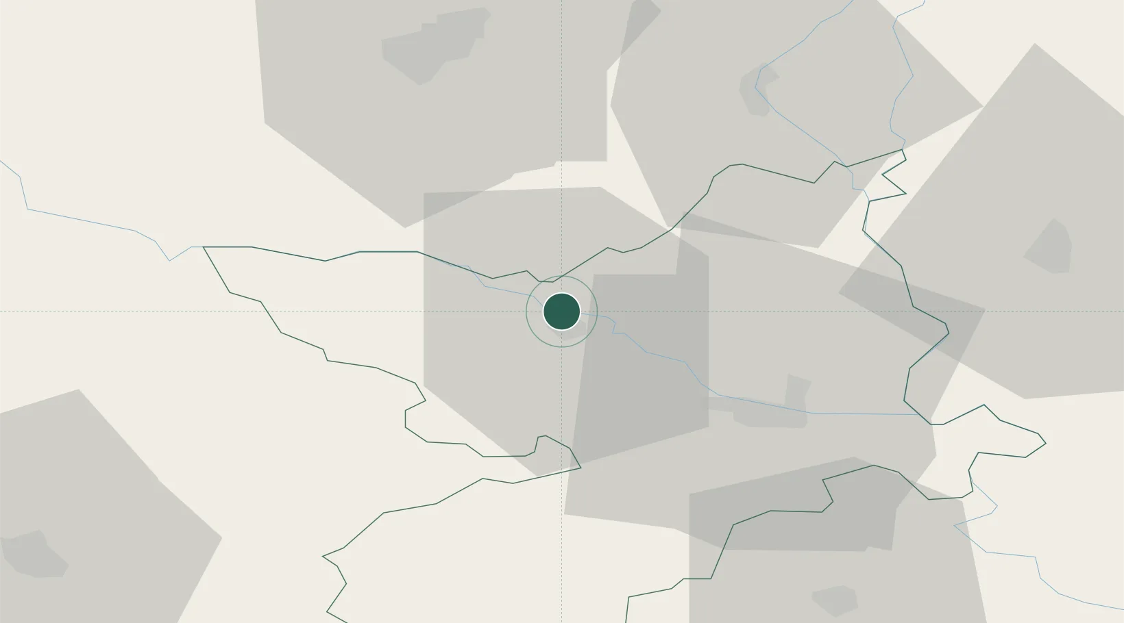
Location
Nearby Logistics Neighbours
Cities
- 1Magyarbóly18 km
- 2Villány19 km
- 3Darda23 km
- 4Osijek27 km
- 5Szederkeny32 km
Airports
- 1Pécs-Pogány International Airport35 km
- 2Osijek Airport41 km
- 3Taszár Air Base86 km
- 4Kalocsa-Foktő Airfield103 km
- 5Banja Luka International Airport122 km
Trade Zones
- 1Osijek Free Zone42 km
- 2Apatin Free Zone43 km
- 3Podunavska Gospodarska Zona Vukovar60 km
- 4Duro Daković Free Zone67 km
- 5Subotica Free Zone103 km
DatabookThe Record of Consolidated Knowledge
Croatia beyond logistics?