Transport Functions
Rail
Road
Hub Profile
Place type
Provincial seat
Region
Virovitica-Podravina
Population
3,384
Time zone
Europe/Zagreb
Elevation
230 m
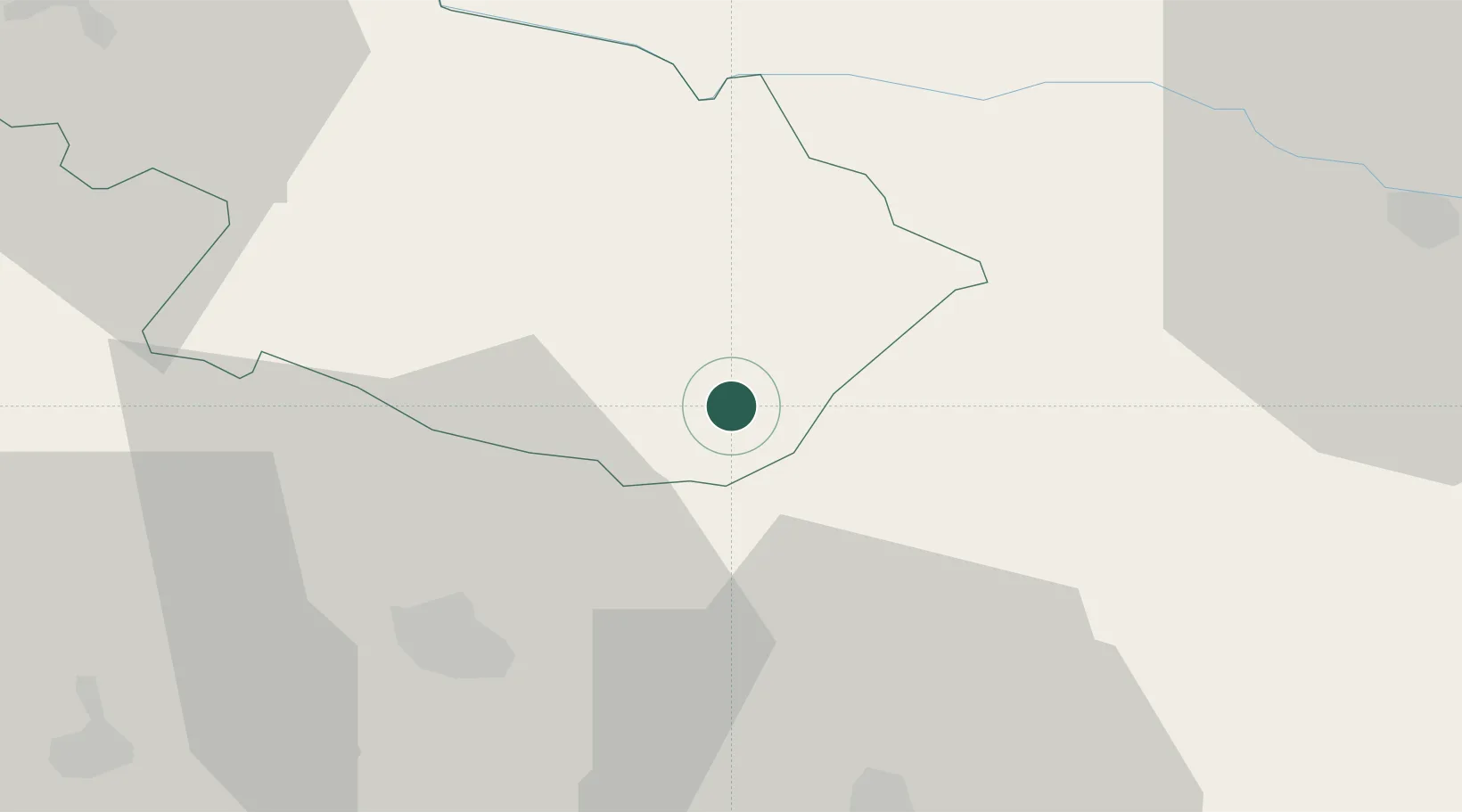
Location
Nearby Logistics Neighbours
Cities
- 1Fericanci7 km
- 2Pozega27 km
- 3Brodski Stupnik41 km
- 4Trnjani44 km
- 5Oriovac44 km
Airports
- 1Pécs-Pogány International Airport58 km
- 2Osijek Airport73 km
- 3Banja Luka International Airport80 km
- 4Taszár Air Base96 km
- 5Tuzla International Airport136 km
Trade Zones
- 1Duro Daković Free Zone42 km
- 2Osijek Free Zone50 km
- 3Apatin Free Zone86 km
- 4Podunavska Gospodarska Zona Vukovar90 km
- 5Free Zone Holc, Lukavac121 km
DatabookThe Record of Consolidated Knowledge
Croatia beyond logistics?