Transport Functions
Rail
Road
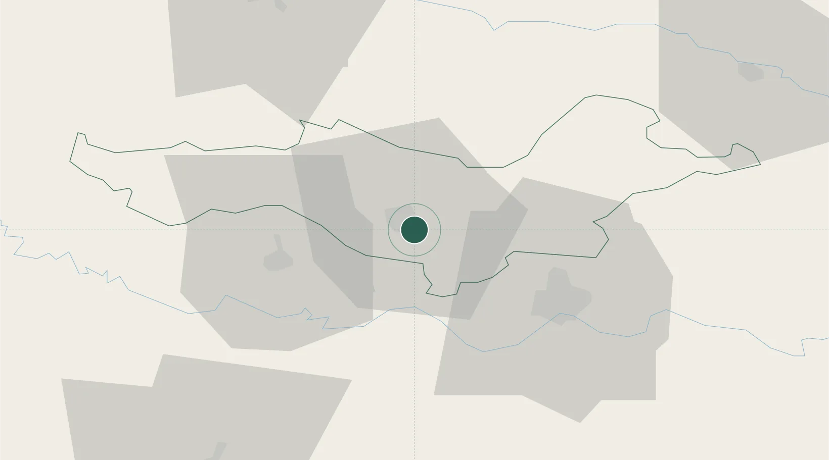
Hub Profile
Place type
Regional capital
Region
Požega-Slavonia
Population
16,867
Time zone
Europe/Zagreb
Elevation
140 m
Location
Nearby Logistics Neighbours
Cities
- 1Brodski Stupnik21 km
- 2Oriovac21 km
- 3Nova Gradiska26 km
- 4Orahovica27 km
- 5Fericanci30 km
Airports
- 1Banja Luka International Airport53 km
- 2Pécs-Pogány International Airport85 km
- 3Osijek Airport89 km
- 4Taszár Air Base119 km
- 5Tuzla International Airport127 km
Trade Zones
- 1Duro Daković Free Zone31 km
- 2Osijek Free Zone60 km
- 3Podunavska Gospodarska Zona Vukovar103 km
- 4Apatin Free Zone107 km
- 5Free Zone Holc, Lukavac109 km
DatabookThe Record of Consolidated Knowledge
Croatia beyond logistics?