Transport Functions
Port
Road
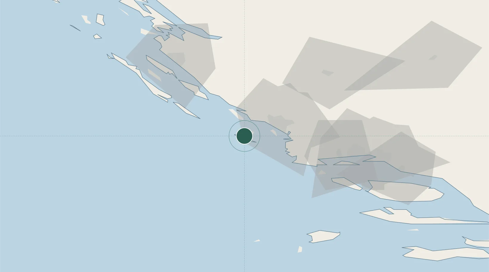
Location
Nearby Logistics Neighbours
Cities
- 1Kaprije4 km
- 2Obonjan10 km
- 3Tribunj11 km
- 4Prvic Sepurine12 km
- 5Prvic12 km
Airports
- 1Split Saint Jerome Airport53 km
- 2Zadar Airport54 km
- 3Brač Airport92 km
- 4Udbina Airfield99 km
- 5San Domino Island Heliport173 km
Trade Zones
- 1Port of Split Free Zone63 km
- 2Split-Dalmatia Free Zone66 km
- 3Port of Ploče Free Zone159 km
- 4Free Zone Hercegovina177 km
- 5Port of Pula Free Zone198 km
DatabookThe Record of Consolidated Knowledge
Croatia beyond logistics?