Transport Functions
Port
Road
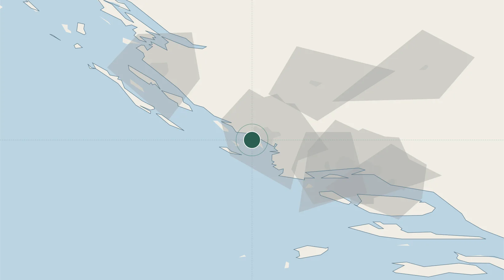
Location
Nearby Logistics Neighbours
Cities
- 1Prvic Sepurine2 km
- 2Zlarin3 km
- 3Obonjan4 km
- 4Jadrija4 km
- 5Tribunj6 km
Airports
- 1Split Saint Jerome Airport45 km
- 2Zadar Airport55 km
- 3Brač Airport86 km
- 4Udbina Airfield94 km
- 5Mostar International Airport172 km
Trade Zones
- 1Port of Split Free Zone55 km
- 2Split-Dalmatia Free Zone58 km
- 3Port of Ploče Free Zone152 km
- 4Free Zone Hercegovina168 km
- 5Port of Pula Free Zone202 km
DatabookThe Record of Consolidated Knowledge
Croatia beyond logistics?