Transport Functions
Port
Road
Hub Profile
Place type
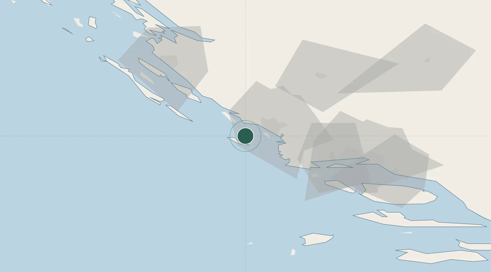
Populated place
Region
Šibenik-Knin
Population
186
Time zone
Europe/Zagreb
Elevation
36 m
Location
Nearby Logistics Neighbours
Cities
- 1Muna na Zirju4 km
- 2Obonjan5 km
- 3Prvic8 km
- 4Prvic Sepurine8 km
- 5Tribunj8 km
Airports
- 1Split Saint Jerome Airport50 km
- 2Zadar Airport54 km
- 3Brač Airport89 km
- 4Udbina Airfield97 km
- 5San Domino Island Heliport175 km
Trade Zones
- 1Port of Split Free Zone60 km
- 2Split-Dalmatia Free Zone63 km
- 3Port of Ploče Free Zone156 km
- 4Free Zone Hercegovina173 km
- 5Port of Pula Free Zone199 km
DatabookThe Record of Consolidated Knowledge
Croatia beyond logistics?