Transport Functions
Port
Road
Hub Profile
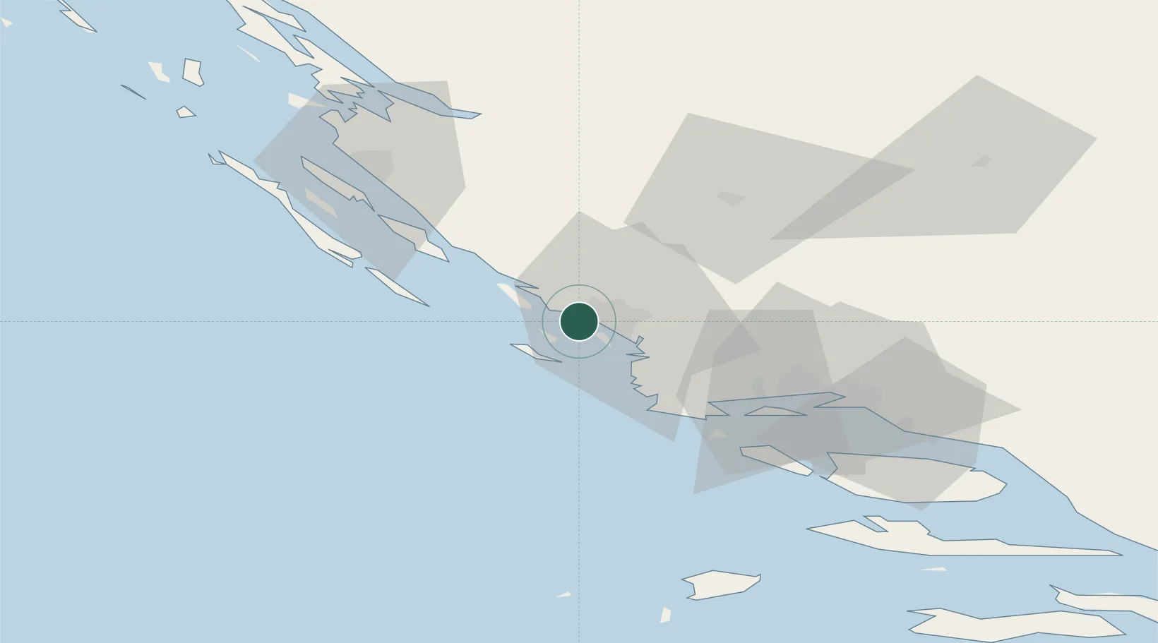
Place type
Populated place
Region
Šibenik-Knin
Population
252
Time zone
Europe/Zagreb
Elevation
0 m
Location
Nearby Logistics Neighbours
Airports
- 1Split Saint Jerome Airport47 km
- 2Zadar Airport53 km
- 3Brač Airport88 km
- 4Udbina Airfield92 km
- 5Mostar International Airport174 km
Trade Zones
- 1Port of Split Free Zone57 km
- 2Split-Dalmatia Free Zone60 km
- 3Port of Ploče Free Zone154 km
- 4Free Zone Hercegovina170 km
- 5Port of Pula Free Zone200 km
DatabookThe Record of Consolidated Knowledge
Croatia beyond logistics?