Transport Functions
Port
Hub Profile
Place type
Provincial seat
Region
Šibenik-Knin
Population
1,594
Time zone
Europe/Zagreb
Elevation
3 m
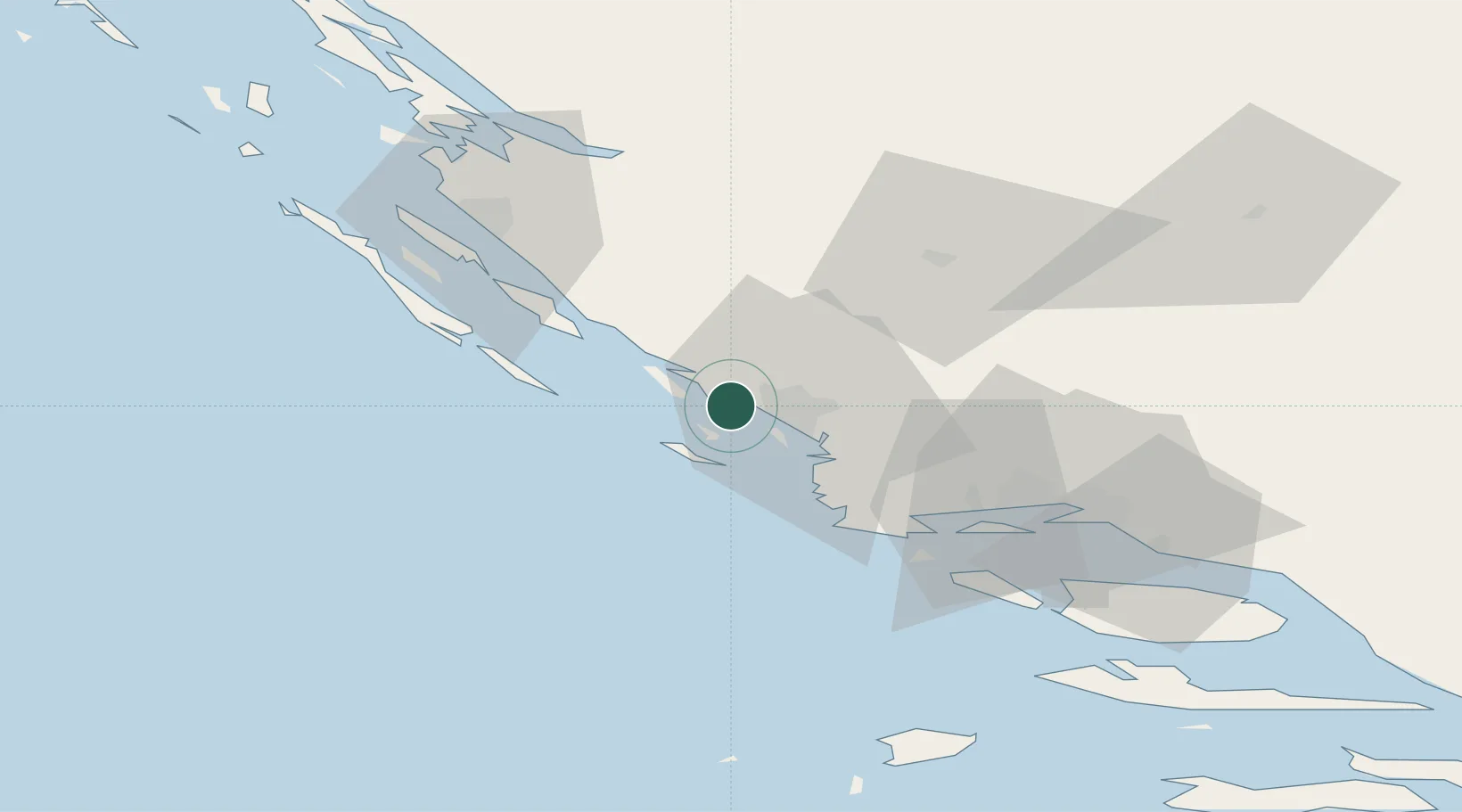
Location
Nearby Logistics Neighbours
Cities
- 1Vodice2 km
- 2Prvic Sepurine3 km
- 3Prvic6 km
- 4Kaprije8 km
- 5Obonjan8 km
Airports
- 1Split Saint Jerome Airport50 km
- 2Zadar Airport50 km
- 3Udbina Airfield90 km
- 4Brač Airport91 km
- 5Mostar International Airport177 km
Trade Zones
- 1Port of Split Free Zone60 km
- 2Split-Dalmatia Free Zone63 km
- 3Port of Ploče Free Zone157 km
- 4Free Zone Hercegovina173 km
- 5Port of Pula Free Zone196 km
DatabookThe Record of Consolidated Knowledge
Croatia beyond logistics?