Runway & Layout

Airport Specifications
IATA code
TQR
ICAO code
LINI
Airport class
Heliport
Scheduled service
Yes
Served city
Tremiti Islands
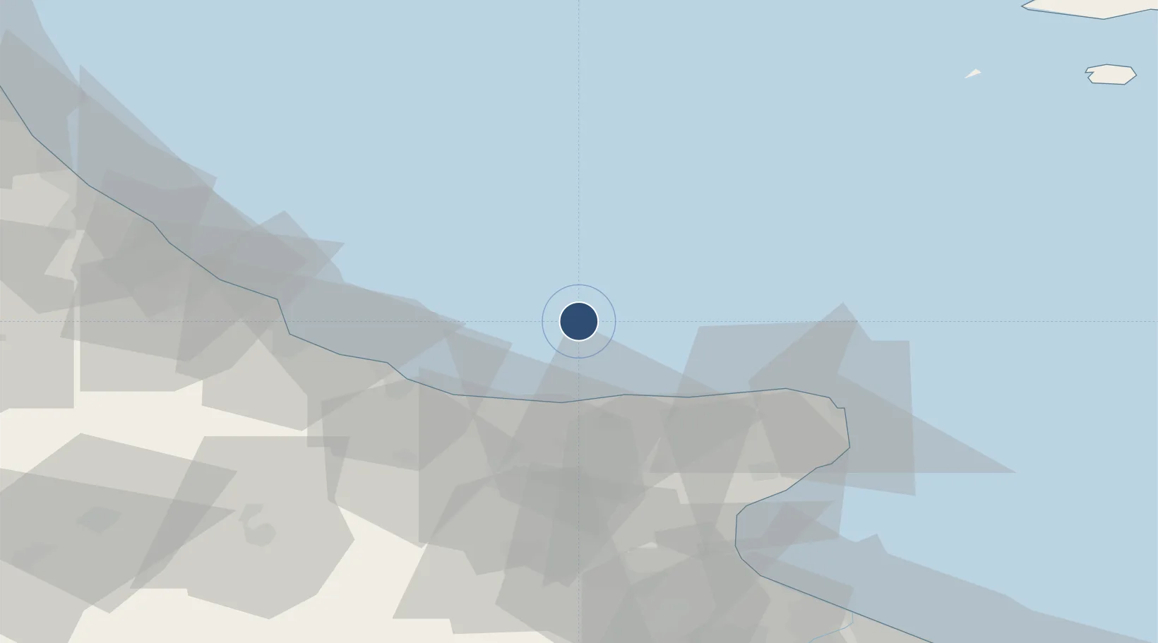
Location
Nearby Logistics Neighbours
Airports
- 1Eliporto Peschici48 km
- 2Amendola Air Base67 km
- 3Foggia Gino Lisa Airport76 km
- 4Abruzzo Airport113 km
- 5Bari Karol Wojtyła International Airport152 km
Cities
- 1Isole Tremiti1 km
- 2Lesina30 km
- 3Foce Varano34 km
- 4Guglionesi52 km
- 5Manfredonia64 km
Ports
- 1Vasto64 km
- 2Manfredonia66 km
- 3Ortona92 km
- 4Porto Di Barletta110 km
- 5Pescara110 km
Trade Zones
DatabookThe Record of Consolidated Knowledge
Italy beyond logistics?