Transport Functions
Port
Road
Hub Profile
Place type
Provincial seat
Region
Split-Dalmatia
Population
1,261
Time zone
Europe/Zagreb
Elevation
26 m
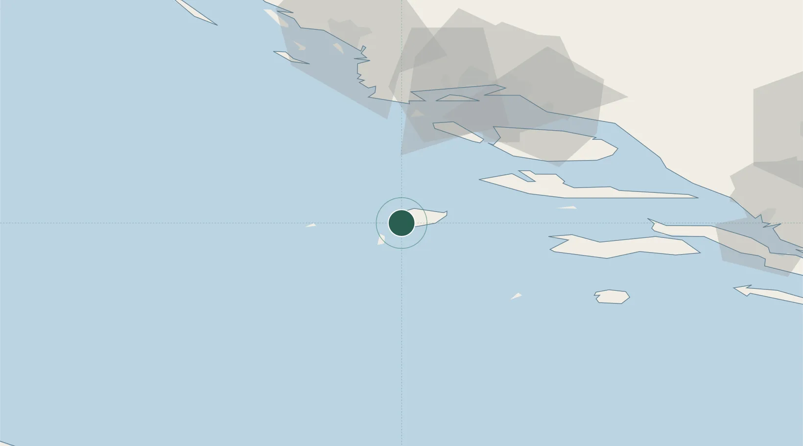
Location
Nearby Logistics Neighbours
Airports
- 1Brač Airport56 km
- 2Split Saint Jerome Airport59 km
- 3San Domino Island Heliport113 km
- 4Eliporto Peschici123 km
- 5Zadar Airport132 km
Trade Zones
- 1Port of Split Free Zone60 km
- 2Split-Dalmatia Free Zone62 km
- 3Port of Ploče Free Zone110 km
- 4Free Zone Hercegovina143 km
- 5Free Zone Visoko199 km
DatabookThe Record of Consolidated Knowledge
Croatia beyond logistics?