Transport Functions
Port
Road
Hub Profile
Place type
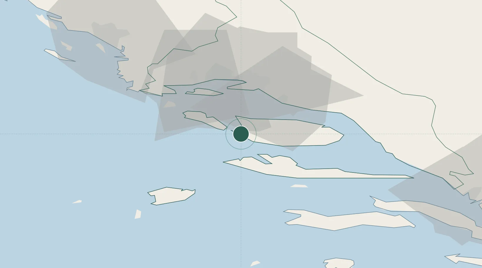
Provincial seat
Region
Split-Dalmatia
Population
775
Time zone
Europe/Zagreb
Elevation
12 m
Location
Nearby Logistics Neighbours
Airports
- 1Brač Airport19 km
- 2Split Saint Jerome Airport28 km
- 3Mostar International Airport113 km
- 4Zadar Airport124 km
- 5Udbina Airfield148 km
Trade Zones
- 1Port of Split Free Zone22 km
- 2Split-Dalmatia Free Zone23 km
- 3Port of Ploče Free Zone85 km
- 4Free Zone Hercegovina110 km
- 5Free Zone Visoko157 km
DatabookThe Record of Consolidated Knowledge
Croatia beyond logistics?