Transport Functions
Port
Road
Hub Profile
Place type
Provincial seat
Region
Split-Dalmatia
Population
1,582
Time zone
Europe/Zagreb
Elevation
5 m
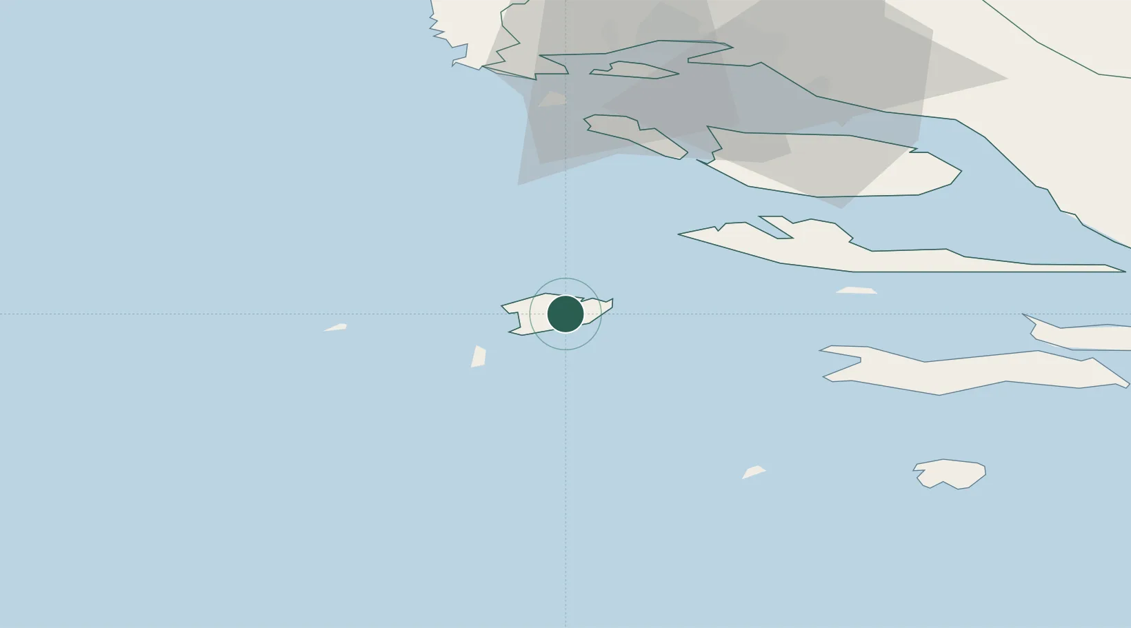
Location
Nearby Logistics Neighbours
Cities
- 1Komiza7 km
- 2Drvenik13 km
- 3Hvar25 km
- 4Milna38 km
- 5Stari Grad38 km
Airports
- 1Brač Airport49 km
- 2Split Saint Jerome Airport55 km
- 3San Domino Island Heliport118 km
- 4Eliporto Peschici125 km
- 5Zadar Airport134 km
Trade Zones
- 1Port of Split Free Zone56 km
- 2Split-Dalmatia Free Zone58 km
- 3Port of Ploče Free Zone103 km
- 4Free Zone Hercegovina136 km
- 5Free Zone Visoko193 km
DatabookThe Record of Consolidated Knowledge
Croatia beyond logistics?