Transport Functions
Port
Road
Hub Profile
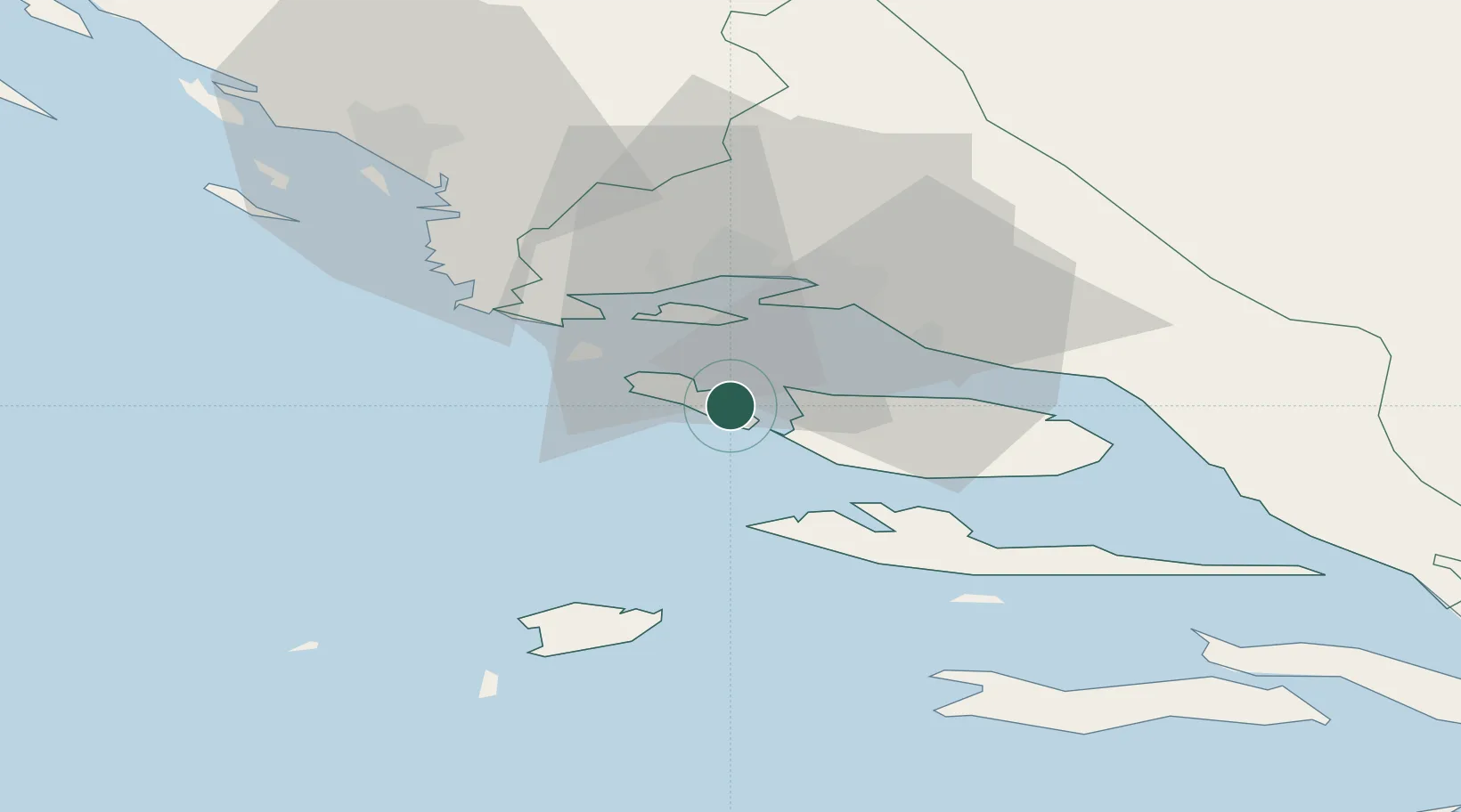
Place type
Populated place
Region
Split-Dalmatia
Population
319
Time zone
Europe/Zagreb
Elevation
18 m
Location
Nearby Logistics Neighbours
Airports
- 1Split Saint Jerome Airport20 km
- 2Brač Airport28 km
- 3Zadar Airport114 km
- 4Mostar International Airport121 km
- 5Udbina Airfield140 km
Trade Zones
- 1Port of Split Free Zone17 km
- 2Split-Dalmatia Free Zone19 km
- 3Port of Ploče Free Zone95 km
- 4Free Zone Hercegovina118 km
- 5Free Zone Visoko162 km
DatabookThe Record of Consolidated Knowledge
Croatia beyond logistics?