Transport Functions
Rail
Road
Hub Profile
Place type
Populated place
Region
Baranya
Population
2,738
Time zone
Europe/Budapest
Elevation
101 m
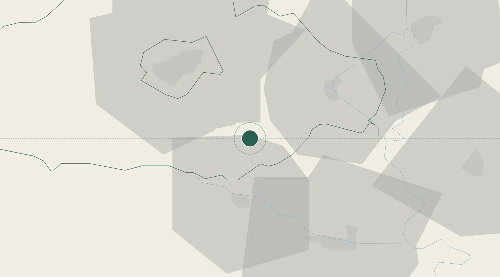
Location
Nearby Logistics Neighbours
Cities
- 1Magyarbóly3 km
- 2Szederkeny13 km
- 3Birjan15 km
- 4Olasz17 km
- 5Belisce19 km
Airports
- 1Pécs-Pogány International Airport21 km
- 2Osijek Airport53 km
- 3Taszár Air Base72 km
- 4Kalocsa-Foktő Airfield85 km
- 5Hévíz–Balaton Airport135 km
Trade Zones
- 1Apatin Free Zone45 km
- 2Osijek Free Zone61 km
- 3Podunavska Gospodarska Zona Vukovar72 km
- 4Duro Daković Free Zone85 km
- 5Subotica Free Zone95 km
DatabookThe Record of Consolidated Knowledge
Hungary beyond logistics?