Transport Functions
Port
Rail
Road
Airport
Hub Profile
Place type
Regional capital
Region
County of Osijek-Baranja
Population
75,535
Time zone
Europe/Zagreb
Elevation
87 m
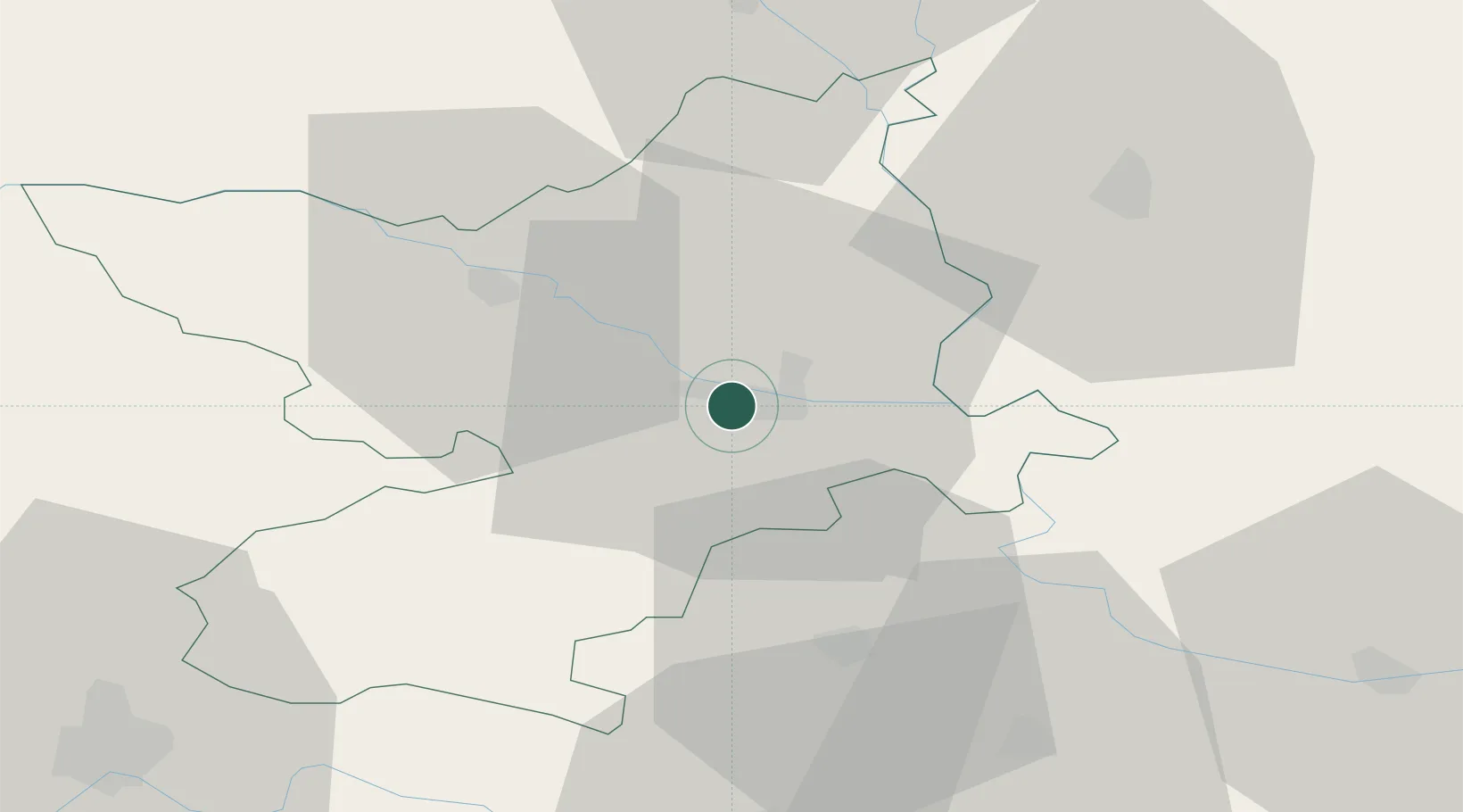
Location
Nearby Logistics Neighbours
Airports
- 1Osijek Airport14 km
- 2Pécs-Pogány International Airport60 km
- 3Taszár Air Base111 km
- 4Kalocsa-Foktő Airfield113 km
- 5Tuzla International Airport121 km
Trade Zones
- 1Apatin Free Zone26 km
- 2Osijek Free Zone31 km
- 3Podunavska Gospodarska Zona Vukovar34 km
- 4Duro Daković Free Zone68 km
- 5Subotica Free Zone94 km
DatabookThe Record of Consolidated Knowledge
Croatia beyond logistics?