Transport Functions
Rail
Hub Profile
Place type
Populated place
Region
Baranya
Time zone
Europe/Budapest
Elevation
98 m
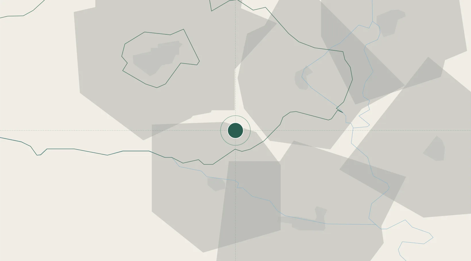
Location
Nearby Logistics Neighbours
Cities
- 1Villány3 km
- 2Szederkeny15 km
- 3Birjan17 km
- 4Belisce18 km
- 5Olasz19 km
Airports
- 1Pécs-Pogány International Airport24 km
- 2Osijek Airport50 km
- 3Taszár Air Base75 km
- 4Kalocsa-Foktő Airfield86 km
- 5Banja Luka International Airport137 km
Trade Zones
- 1Apatin Free Zone42 km
- 2Osijek Free Zone59 km
- 3Podunavska Gospodarska Zona Vukovar69 km
- 4Duro Daković Free Zone84 km
- 5Subotica Free Zone93 km
DatabookThe Record of Consolidated Knowledge
Hungary beyond logistics?