Transport Functions
Rail
Road
Hub Profile
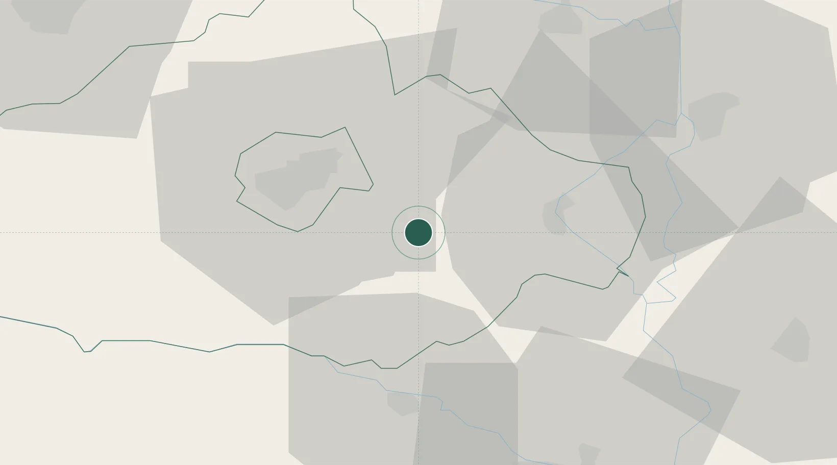
Place type
Populated place
Region
Baranya
Time zone
Europe/Budapest
Elevation
120 m
Location
Nearby Logistics Neighbours
Cities
- 1Olasz5 km
- 2Birjan6 km
- 3Villány13 km
- 4Magyarbóly15 km
- 5Mohács18 km
Airports
- 1Pécs-Pogány International Airport16 km
- 2Taszár Air Base61 km
- 3Osijek Airport64 km
- 4Kalocsa-Foktő Airfield74 km
- 5Hévíz–Balaton Airport126 km
Trade Zones
- 1Apatin Free Zone52 km
- 2Osijek Free Zone74 km
- 3Podunavska Gospodarska Zona Vukovar83 km
- 4Subotica Free Zone92 km
- 5Duro Daković Free Zone97 km
DatabookThe Record of Consolidated Knowledge
Hungary beyond logistics?