Transport Functions
Road
Multimodal
Hub Profile
Place type
Populated place
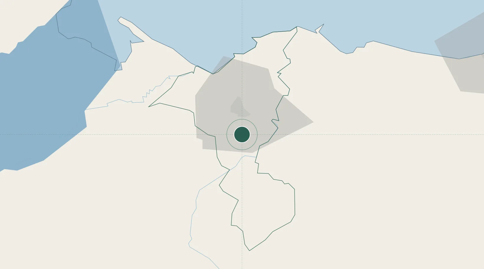
Region
Cortés Department
Time zone
America/Tegucigalpa
Elevation
127 m
Location
Nearby Logistics Neighbours
Cities
- 1Chamelecón6 km
- 2Villanueva7 km
- 3El Progreso22 km
- 4San Pedro Sula24 km
- 5Caracol37 km
Ports
- 1Puerto Cortes50 km
- 2Tela74 km
- 3Santo Tomas De Castilla75 km
- 4Puerto Barrios75 km
- 5Big Creek133 km
Airports
- 1Ramón Villeda Morales International Airport11 km
- 2Tela Airport71 km
- 3Puerto Barrios Airport74 km
- 4Punta Gorda Airport118 km
- 5Palmerola International Airport119 km
Trade Zones
- 1ZIP Bufalo Free Zone3 km
- 2ZIP Buena Vista4 km
- 3Villanueva Industrial7 km
- 4ZIP Calpules10 km
- 5ZIP San José11 km
DatabookThe Record of Consolidated Knowledge
Honduras beyond logistics?