UN/LOCODE hub · Honduras
HNSAP
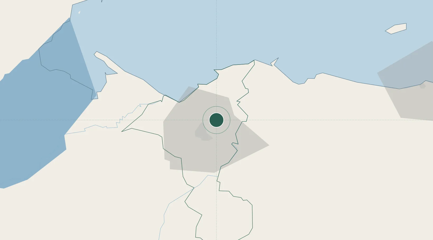
San Pedro Sula
15.5864°, -87.9373°
801,259
Population
3
Transport functions
Transport Functions
Port
Airport
Postal
Hub Profile
Place type
Regional capital
Region
Cortés Department
Population
801,259
Time zone
America/Tegucigalpa
Elevation
90 m
Logistics facilities
3
Location
Nearby Logistics Neighbours
Cities
- 1Rio Bijao15 km
- 2Rio Blanquito17 km
- 3Chamelecón19 km
- 4Omoa23 km
- 5Búfalo24 km
Ports
- 1Puerto Cortes28 km
- 2Tela57 km
- 3Puerto Barrios73 km
- 4Santo Tomas De Castilla74 km
- 5Big Creek115 km
Airports
- 1Ramón Villeda Morales International Airport15 km
- 2Tela Airport54 km
- 3Puerto Barrios Airport71 km
- 4Punta Gorda Airport109 km
- 5Placencia Airport115 km
Trade Zones
DatabookThe Record of Consolidated Knowledge
Honduras beyond logistics?