Export Processing Zone · Honduras
ZIP San José Active
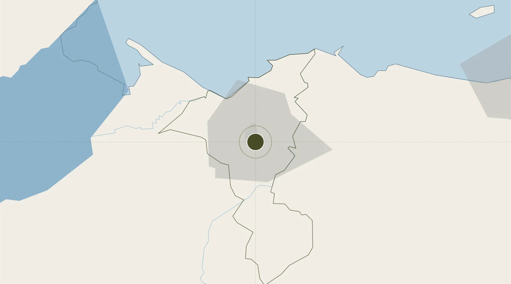
15.4818°, -88.0065°
23 ha
Zone area
39.6 km
Nearest port
9.5 km
Nearest airport
Gateway access
Zone profile
Zone type
Export Processing Zone
Region
Cortés
Status
Active
Management
Private
Operator
Compañía Azucarera Hondurña, SA (CAHSA) / Commonwealth Development Corporation (CDC)
Legal framework
Law of Industrial Zones of Processing for Exports - Decree No 131-98
Location
Nearby Logistics Neighbours
Ports
- 1Puerto Cortes40 km
- 2Tela68 km
- 3Puerto Barrios69 km
- 4Santo Tomas De Castilla70 km
- 5Big Creek123 km
Airports
- 1Ramón Villeda Morales International Airport10 km
- 2Tela Airport66 km
- 3Puerto Barrios Airport68 km
- 4Punta Gorda Airport110 km
- 5Big Creek Airport123 km
Cities
- 1Chamelecón6 km
- 2Búfalo11 km
- 3San Pedro Sula14 km
- 4Villanueva18 km
- 5El Progreso24 km
Trade Zones
- 1ZIP Calpules5 km
- 2ZIP Bufalo Free Zone8 km
- 3Altia Smart City9 km
- 4ZIP Continental13 km
- 5ZOLI Honduras Free Zone13 km
DatabookThe Record of Consolidated Knowledge
Honduras beyond logistics?