Transport Functions
Multimodal
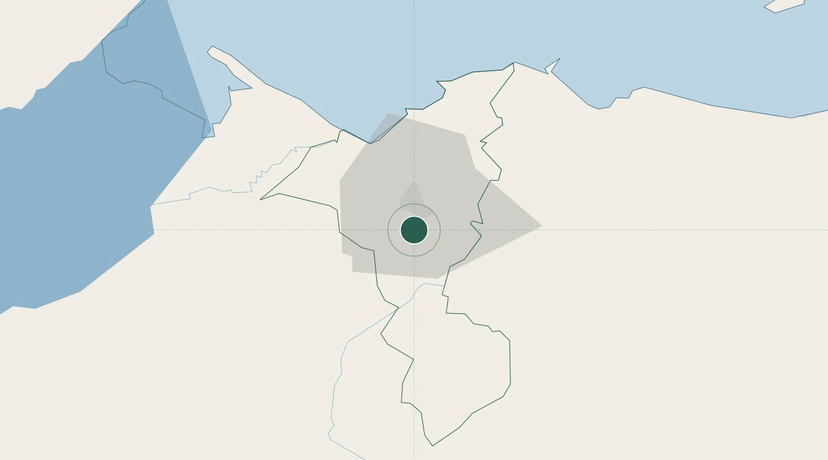
Hub Profile
Place type
Populated place
Region
Cortés Department
Time zone
America/Tegucigalpa
Elevation
44 m
Location
Nearby Logistics Neighbours
Cities
- 1Búfalo6 km
- 2Villanueva13 km
- 3San Pedro Sula19 km
- 4El Progreso24 km
- 5Caracol32 km
Ports
- 1Puerto Cortes45 km
- 2Santo Tomas De Castilla71 km
- 3Puerto Barrios71 km
- 4Tela72 km
- 5Big Creek127 km
Airports
- 1Ramón Villeda Morales International Airport10 km
- 2Puerto Barrios Airport69 km
- 3Tela Airport69 km
- 4Punta Gorda Airport113 km
- 5Palmerola International Airport124 km
Trade Zones
- 1ZIP Bufalo Free Zone3 km
- 2ZIP San José6 km
- 3ZIP Calpules7 km
- 4ZIP Buena Vista10 km
- 5ZIP Continental13 km
DatabookThe Record of Consolidated Knowledge
Honduras beyond logistics?