Transport Functions
Multimodal
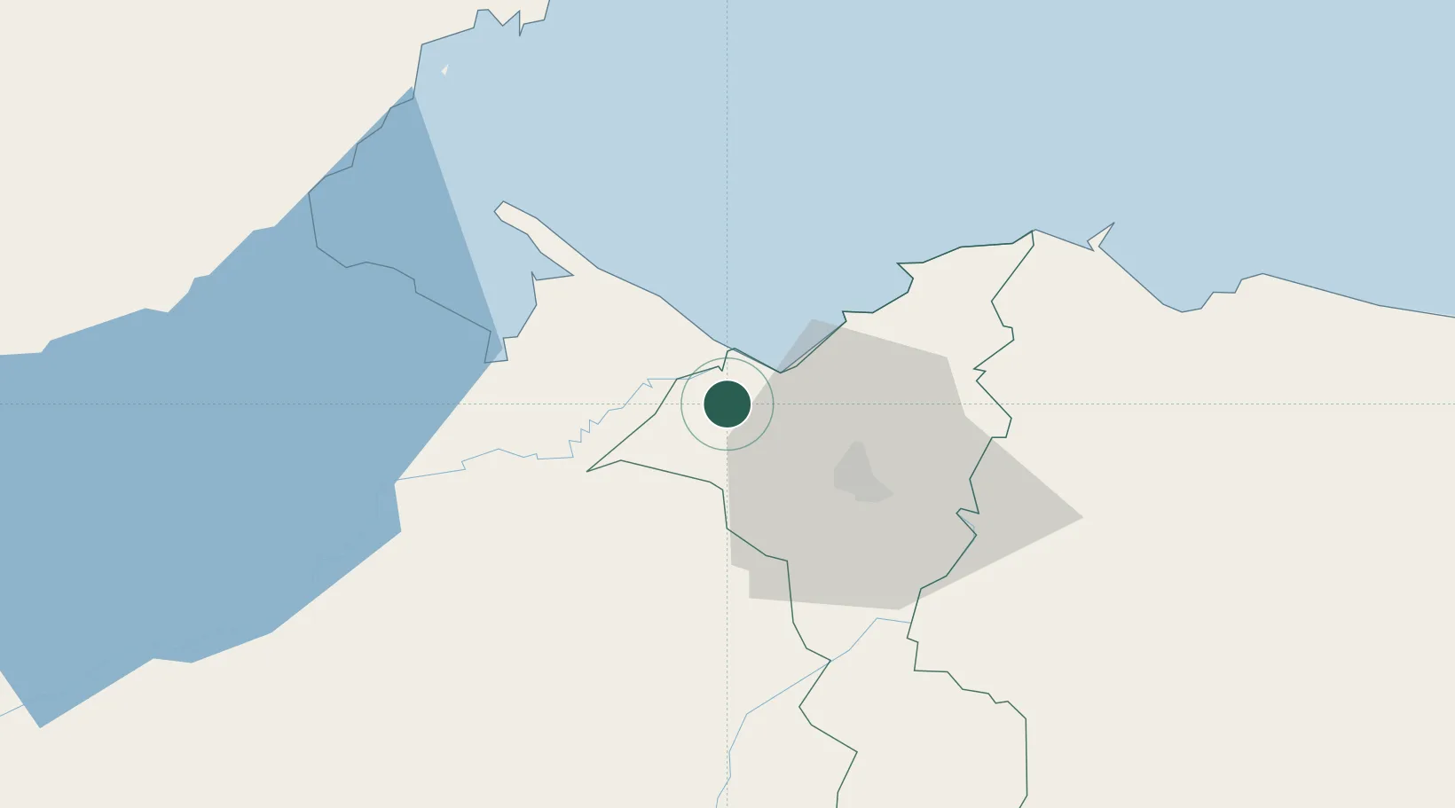
Hub Profile
Place type
Populated place
Region
Cortés Department
Time zone
America/Tegucigalpa
Elevation
22 m
Location
Nearby Logistics Neighbours
Cities
- 1Cuyamel5 km
- 2Corinto15 km
- 3Omoa26 km
- 4Entre Ríos32 km
- 5San Pedro Sula32 km
Ports
- 1Puerto Cortes38 km
- 2Puerto Barrios41 km
- 3Santo Tomas De Castilla42 km
- 4Tela86 km
- 5Big Creek100 km
Airports
- 1Ramón Villeda Morales International Airport39 km
- 2Puerto Barrios Airport39 km
- 3Punta Gorda Airport81 km
- 4Tela Airport83 km
- 5Big Creek Airport100 km
Trade Zones
- 1Altia Smart City24 km
- 2ZOLI Indhelva Free Zone29 km
- 3ZIP San José30 km
- 4ZIP Choloma Free Zone30 km
- 5ZOLI Honduras Free Zone30 km
DatabookThe Record of Consolidated Knowledge
Honduras beyond logistics?