Medium airport · Guatemala
Puerto Barrios AirportMGPB
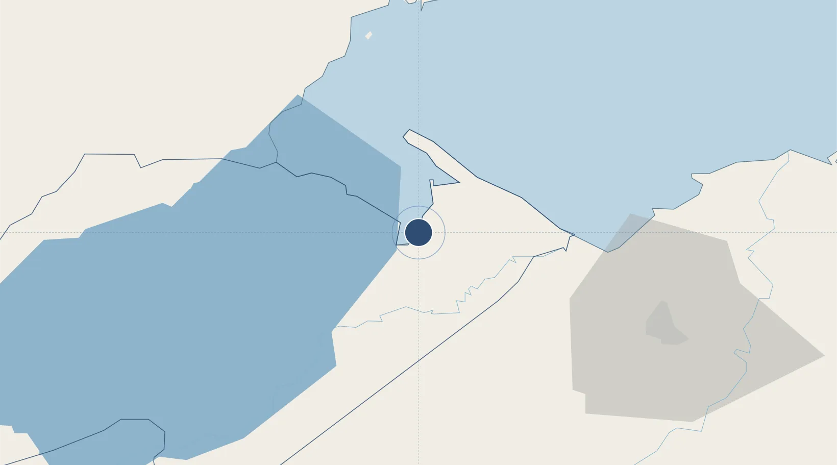
15.7309°, -88.5838°
8,880 ft
Longest runway
1
Runways
33 ft
Elevation
Runway & Layout

Radio Frequencies
TWR
118.4 MHz
Navaids
BAR NDB Puerto Barrios 347 kHz
IOS VOR-DME Puerto Barrios 115.10 MHz
Runways · 1
| Runway | Dimensions | Surface | True heading | Lit |
|---|---|---|---|---|
| 12/30 | 8,880 × 110ft | Concrete | 128° | — |
Airport Specifications
IATA code
PBR
ICAO code
MGPB
Airport class
Medium airport
Scheduled service
Yes
Runway surface
Concrete
Served city
Puerto Barrios
Location
Nearby Logistics Neighbours
Airports
- 1Punta Gorda Airport48 km
- 2Ramón Villeda Morales International Airport77 km
- 3Big Creek Airport90 km
- 4Independence Airport91 km
- 5Placencia Airport93 km
Cities
- 1Puerto Barrios2 km
- 2Puerto Santo Tomás de Castilla5 km
- 3Santo Tomas6 km
- 4Entre Ríos12 km
- 5Lívingston21 km
Ports
- 1Puerto Barrios2 km
- 2Santo Tomas De Castilla5 km
- 3Puerto Cortes69 km
- 4Big Creek90 km
- 5Tela122 km
Trade Zones
- 1Santo Tomas de Castillo Free Zone5 km
- 2Green Valley Industrial Park60 km
- 3Altia Smart City63 km
- 4ZIP San José68 km
- 5ZOLI Indhelva Free Zone68 km
DatabookThe Record of Consolidated Knowledge
Guatemala beyond logistics?